Summary
The ideal streamflow range for this stretch of the river is between 300 and 1,500 cubic feet per second (cfs). The run is classified as Class III to IV, suitable for intermediate to advanced paddlers. The river features several rapids, including the popular No Name Falls, a Class IV rapid that includes a 12-foot drop into a deep pool.
The regulations for this area require a permit for all river trips. The permit system is managed by the Jicarilla Apache Nation and the Bureau of Indian Affairs. The use of motorized watercraft is prohibited, and all camping must be done in designated campsites. Additionally, visitors are required to pack out all trash and leave the area as they found it.
Overall, the Whitewater River Run offers a challenging and scenic paddling experience for experienced kayakers and rafters. It is essential to check the streamflow conditions before embarking on a trip and to follow all regulations to ensure the safety of both visitors and the natural environment.
°F
°F
mph
Wind
%
Humidity
15-Day Weather Outlook
River Run Details
| Last Updated | 2026-02-07 |
| River Levels | 1630 cfs (4.37 ft) |
| Percent of Normal | 103% |
| Status | |
| Class Level | iii-iv |
| Elevation | ft |
| Streamflow Discharge | cfs |
| Gauge Height | ft |
| Reporting Streamgage | USGS 09346400 |
5-Day Hourly Forecast Detail
Nearby Streamflow Levels
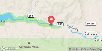 San Juan River Near Carracas
|
112cfs |
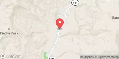 Piedra River Near Arboles
|
113cfs |
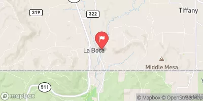 Spring Creek At La Boca
|
40cfs |
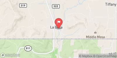 Los Pinos River At La Boca
|
46cfs |
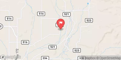 Los Pinos River Near Ignacio
|
14cfs |
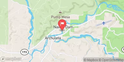 San Juan River Near Archuleta
|
323cfs |


 Jicarilla Apache Reservation Boundary To Nf Boundary
 Jicarilla Apache Reservation Boundary To Colorado Stateline