Summary
The ideal streamflow range for this section is between 200 and 1000 cfs. This section of the river is rated as Class III-IV, making it a challenging experience for intermediate to advanced paddlers. The segment mileage of this run is approximately 13 miles, and it typically takes around 4-5 hours to complete.
Some specific river rapids and obstacles on this run include the "Entrance Exam," which is a technical drop into a narrow channel, and "Pinball," which is a series of boulder drops that require precise maneuvering. Other notable rapids include "Satan's Gut," "The Chute," and "Cable Falls."
There are specific regulations in place for this area, including a seasonal closure from March 15 to May 15 to protect nesting birds. Additionally, a permit is required to access the river from the Little Gypsum Valley Bridge. It is also important to note that this section of the river is not recommended for inexperienced paddlers, and a safety plan should be in place before embarking on this adventure.
°F
°F
mph
Wind
%
Humidity
15-Day Weather Outlook
River Run Details
| Last Updated | 2025-09-29 |
| River Levels | 1330 cfs (8.89 ft) |
| Percent of Normal | 61% |
| Status | |
| Class Level | iii-iv |
| Elevation | ft |
| Streamflow Discharge | cfs |
| Gauge Height | ft |
| Reporting Streamgage | USGS 09168730 |


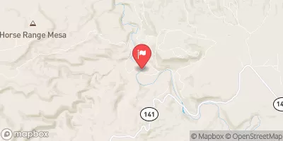
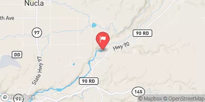
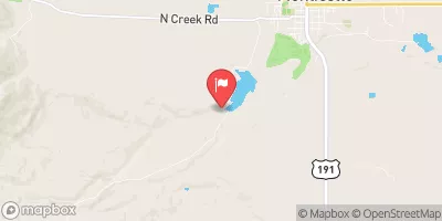
 Dissappointment Creek To Little Gypsum Valley Bridge
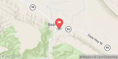
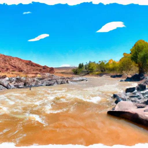 Dolores River - Mcphee To Bedrock Segment In Tres Rios Field Office
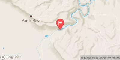
 Dolores River - Mcphee To Bedrock Segment In Uncompahgre Field Office
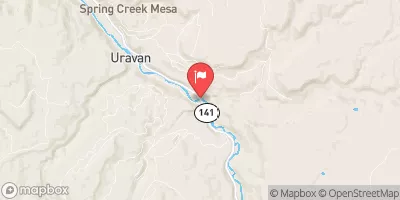
 Slickrock to Bedrock
 Coyote Wash