Confluence Of North, Middle And South Forks (Sec 4, T43n, R3e) To Nf Boundary (Sec 17, T44n, R4e) Paddle Report
Last Updated: 2025-11-13
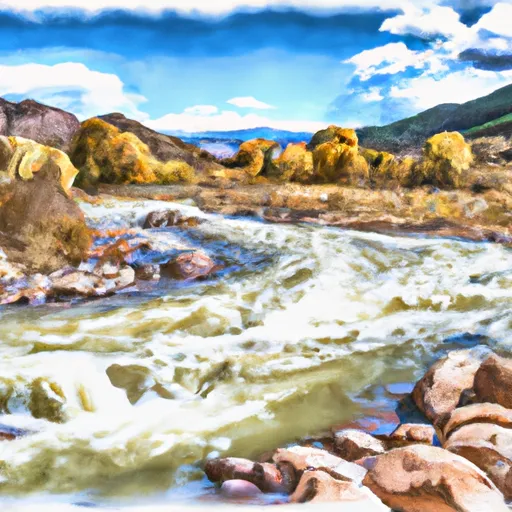
The Whitewater River Run from the Confluence of North, Middle, and South Forks to the NF Boundary in Colorado is a popular river run for experienced whitewater enthusiasts.
Summary
The ideal streamflow range for this segment is between 1,000 and 3,000 cubic feet per second (cfs), which usually occurs during the late spring and early summer months. The segment covers a total of 12.3 miles and is rated as Class III-IV, with some Class V rapids during high water.
Specific obstacles and rapids to look out for include "The Squeeze," a tight and technical rapid that requires precise maneuvering, and "S-Turn," a series of steep drops and powerful hydraulics. Additionally, the "Gash" section of the run includes a Class V rapid that should only be attempted by expert paddlers.
Regulations for the area include a mandatory life jacket requirement and a prohibition on alcohol and drugs while on the river. It is important to note that access to the river is limited and requires a permit from the Bureau of Land Management. Overall, the Whitewater River Run offers a challenging and exciting adventure for experienced kayakers and rafters.
°F
°F
mph
Wind
%
Humidity
15-Day Weather Outlook
River Run Details
| Last Updated | 2025-11-13 |
| River Levels | 187 cfs (2.42 ft) |
| Percent of Normal | 120% |
| Status | |
| Class Level | iii-iv |
| Elevation | ft |
| Streamflow Discharge | cfs |
| Gauge Height | ft |
| Reporting Streamgage | USGS 08227000 |


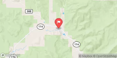
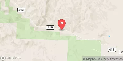
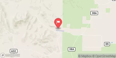
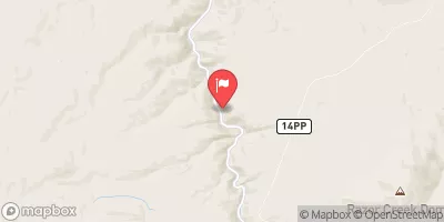
 Stone Cellar
 Stone Cellar Campground
 Stone Cellar Guard Station Cabin
 Upper Crossing Guard Station Cabin
 Carnero Guard Station Cabin
 Luders Creek Campground
 Confluence Of North, Middle And South Forks (Sec 4, T43N, R3E) To Nf Boundary (Sec 17, T44N, R4E)