Summary
The ideal streamflow range for this segment is between 250 and 1000 cfs. This segment is classified as Class III and has a total mileage of 10.6 miles.
There are several notable rapids and obstacles along this segment, including The West Fork, a Class III rapid, and The Waterfall, a Class IV rapid. Additionally, there are numerous tight turns and technical sections throughout the segment.
Specific regulations for this area include a mandatory portage at The Waterfall, as well as a requirement for all boaters to carry a Type III or V personal flotation device. Additionally, all boaters must adhere to Leave No Trace principles and pack out all trash and waste.
°F
°F
mph
Wind
%
Humidity
15-Day Weather Outlook
River Run Details
| Last Updated | 2025-06-28 |
| River Levels | 1220 cfs (5.14 ft) |
| Percent of Normal | 50% |
| Status | |
| Class Level | iii-iv |
| Elevation | ft |
| Streamflow Discharge | cfs |
| Gauge Height | ft |
| Reporting Streamgage | USGS 09177000 |
5-Day Hourly Forecast Detail
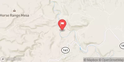
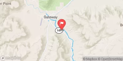
Nearby Streamflow Levels
Area Campgrounds
| Location | Reservations | Toilets |
|---|---|---|
 Free Campground (The Ball Park)
|
||
 Columbine Campground
|
||
 Columbine Campground - Ouray RD
|


 Tabeguache Creek Segment 2
 Tabeguache Creek Segment 1
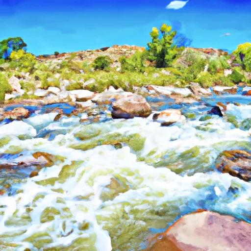 San Miguel River Segment 5
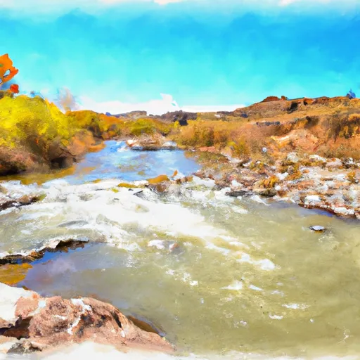 San Miguel River Segment 6