Wilderness Black Ridge Canyons
Community Reviews
Been here? Share the conditions.
Reviews, ratings & photos are added in the free Snoflo iOS app — rate a spot, tag the conditions, and your visit is verified by location. Add or manage your reviews from the app.

Wilderness Black Ridge Canyons
One of the main points of interest within the Wilderness Black Ridge Canyons is the Rattlesnake Canyon, renowned for its exceptional rock art and archaeological sites. It is home to more than 750 petroglyphs, representing the art and culture of the ancestral Puebloan people who lived in the region thousands of years ago. Exploring this area offers a unique opportunity to connect with the history and heritage of the local Native American tribes.
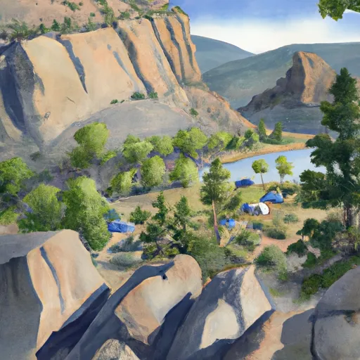
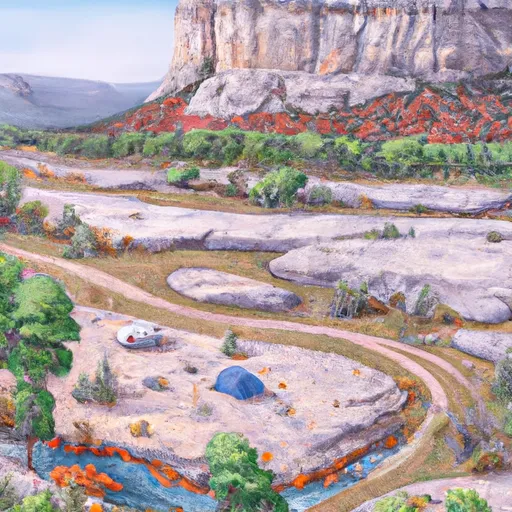
Another prominent attraction in the wilderness is the stunning Colorado River corridor, which offers breathtaking views of the river winding through deep canyons. This area is ideal for various recreational activities such as hiking, backpacking, river rafting, and camping. Additionally, the area boasts numerous hiking trails, including the very popular Devil's Canyon and Pollock Bench trails, which offer scenic vistas and the chance to spot wildlife such as bighorn sheep, mule deer, and various bird species.
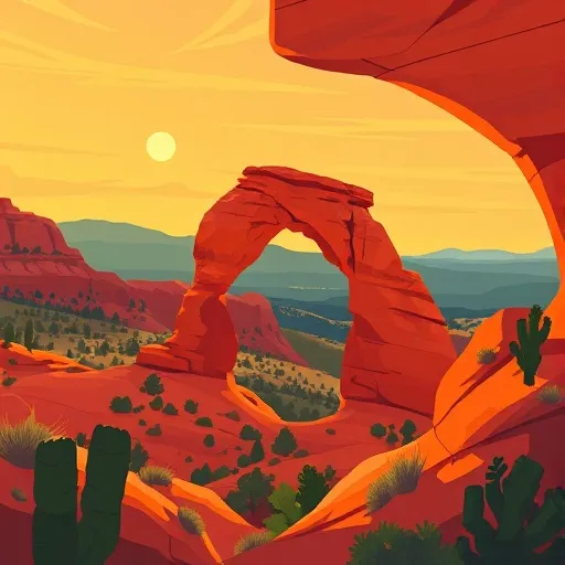
Interesting facts about the Wilderness Black Ridge Canyons include its rich biodiversity, with over 150 bird species and the presence of several rare and endangered plants. The area is also home to numerous geological wonders, including towering sandstone cliffs, natural arches, and unique rock formations shaped by millions of years of erosion. It is truly a haven for geology enthusiasts and photographers.
The best time to visit Wilderness Black Ridge Canyons is typically during the spring and fall seasons when the weather is mild and the temperatures are comfortable for outdoor activities. Summers can be quite hot, with temperatures often exceeding 90°F (32°C), making hiking and exploring more challenging. Winter months can bring snow and colder temperatures, limiting some activities but offering a unique experience for those seeking solitude and a snowy landscape.
To ensure accuracy, it is always recommended to verify this information across multiple independent sources. The Bureau of Land Management's official website for the Wilderness Black Ridge Canyons and other reputable travel websites can provide comprehensive and up-to-date information for planning a visit to this incredible wilderness area.
Trails in Wilderness Black Ridge Canyons
Named trails whose route falls inside the park.
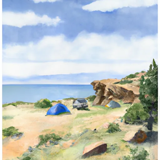
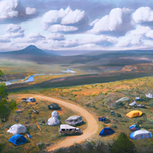
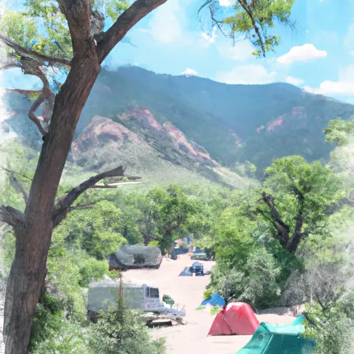
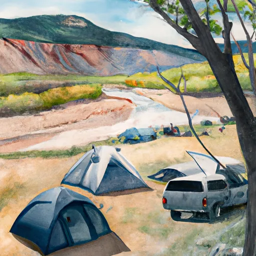
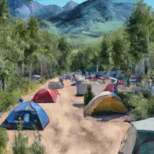
Camping in Wilderness Black Ridge Canyons
Campgrounds inside the park, with today's conditions score.


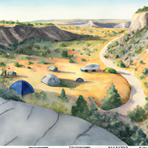

Points of interest in Wilderness Black Ridge Canyons
Landmarks and points of interest inside the park boundary.


Plan your visit down to the hour
Same weather feed Snoflo's iOS app uses -- updated continuously from NOAA / yr.no.
Next 5 days, hour by hour
Temperature line with weather symbols on top, snow + rain accumulation as columns, humidity as a dotted line.
5-day forecast table
Every 3 hours, broken out across temperature, snow, rain, humidity, and wind.
| Time | Condition | Temp (°F) | Snow (in) | Rain (in) | Humidity (%) | Wind (mps) | Wind dir |
|---|---|---|---|---|---|---|---|
| Loading detailed forecast… | |||||||
15-day temperature & precipitation
Daily temperatures, snow, and rain projected over the next two weeks.
Responsible recreation & Leave No Trace
- Know before you go
- Check the operator's site for hours, permit requirements, seasonal closures, and fire restrictions before heading out.
- Stay on trail
- Stick to marked paths to protect vegetation, prevent erosion, and avoid disturbing wildlife habitat.
- Respect wildlife
- Observe from a distance, never feed wildlife, and store food securely if camping is permitted on-site.
- Pack it in, pack it out
- Carry out all trash, food scraps, and gear. Many parks have limited or no trash service.
- Leave what you find
- Don't take rocks, plants, or artifacts. They make the park what it is for the next visitor.
Set push alerts in the Snoflo app
Save Wilderness Black Ridge Canyons as a favorite, set a custom threshold (precipitation, freezing temperatures, fire-restriction days), and the iOS app will push the moment conditions cross.
About Wilderness Black Ridge Canyons
What can I do at Wilderness Black Ridge Canyons?
Most Snoflo-tracked parks support hiking, picnicking, and wildlife viewing. Check the operator's site for activity-specific rules (camping, fishing, paddling, hunting).
How fresh is the weather data?
The hourly forecast updates throughout the day from NOAA / yr.no. Streamflow comes live from USGS streamgauges.
When is the best time to visit?
Use the 15-day temperature & precipitation outlook on this page to plan -- pick a window with comfortable temperatures and low precipitation.
How do I get to Wilderness Black Ridge Canyons?
Tap Directions in the hero above to open driving directions in Google Maps, or Open in map to center the Snoflo interactive map on the park.
Can I get alerts when conditions change?
Yes -- alerts are managed in the Snoflo iOS app. Favorite this park, set a threshold (temperature, precipitation), and you'll get a push the moment it crosses.
Park & land designation reference
A quick legend for the federal and state land categories Snoflo tracks. Each designation comes with different rules around access, recreation, and resource extraction.
- National Park
- Large protected natural areas managed by the federal government to preserve significant landscapes, ecosystems, and cultural resources; recreation is allowed but conservation is the priority.
- State Park
- Public natural or recreational areas managed by a state government, typically smaller than national parks and focused on regional natural features, recreation, and education.
- Local Park
- Community-level parks managed by cities or counties, emphasizing recreation, playgrounds, sports, and green space close to populated areas.
- Wilderness Area
- The highest level of land protection in the U.S.; designated areas where nature is left essentially untouched, with no roads, structures, or motorized motorized access permitted.
- National Recreation Area
- Areas set aside primarily for outdoor recreation (boating, hiking, fishing, often around reservoirs, rivers, or scenic landscapes); may allow more development.
- National Conservation Area (BLM)
- BLM-managed areas with special ecological, cultural, or scientific value; more protection than typical BLM land but less strict than Wilderness Areas.
- State Forest
- State-managed forests focused on habitat, watershed, recreation, and sustainable timber harvest.
- Bureau of Land Management (BLM) Land
- Vast federal lands managed for mixed use -- recreation, grazing, mining, conservation -- with fewer restrictions than national parks or forests.