Summary
The ideal streamflow range for this river is between 300 to 800 cfs, but it can be run up to 1,500 cfs by experienced paddlers. The river is rated as Class III to IV, making it suitable for intermediate to advanced kayakers and rafters.
The North Fork Mesa Creek is divided into two segments: the Upper and Lower runs. The Upper run is a 2-mile stretch with continuous Class III-IV rapids, including the popular "Cascades" rapid. The Lower run is a longer 5-mile stretch with a mix of Class II-III rapids, making it suitable for intermediate paddlers.
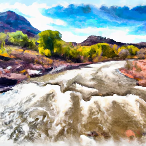
The river features numerous obstacles, including boulder gardens, steep drops, and technical rapids. The "Cascades" rapid is a particularly challenging section of the river that requires precise maneuvering to navigate safely.
There are specific regulations that apply to this area, including a permit requirement for commercial outfitters that operate on the river. Additionally, individuals should be aware of private property boundaries and respect the landowners' rights.
Overall, the North Fork Mesa Creek is a challenging and exciting river run that attracts experienced paddlers looking for a thrilling adventure. It is important to check the current streamflow and weather conditions before attempting this run and to follow all regulations to ensure a safe and enjoyable experience.
°F
°F
mph
Wind
%
Humidity
15-Day Weather Outlook
River Run Details
| Last Updated | 2025-06-28 |
| River Levels | 2560 cfs (11.81 ft) |
| Percent of Normal | 35% |
| Status | |
| Class Level | iii-iv |
| Elevation | ft |
| Streamflow Discharge | cfs |
| Gauge Height | ft |
| Reporting Streamgage | USGS 09179450 |
5-Day Hourly Forecast Detail
Nearby Streamflow Levels
Area Campgrounds
| Location | Reservations | Toilets |
|---|---|---|
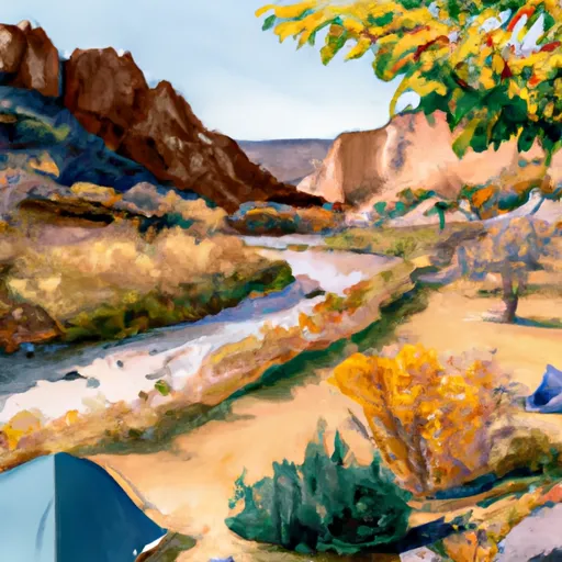 Dolores River Camp 8
|
||
 Dolores River Camp 7
|
||
 Dolores River Camp 6
|
||
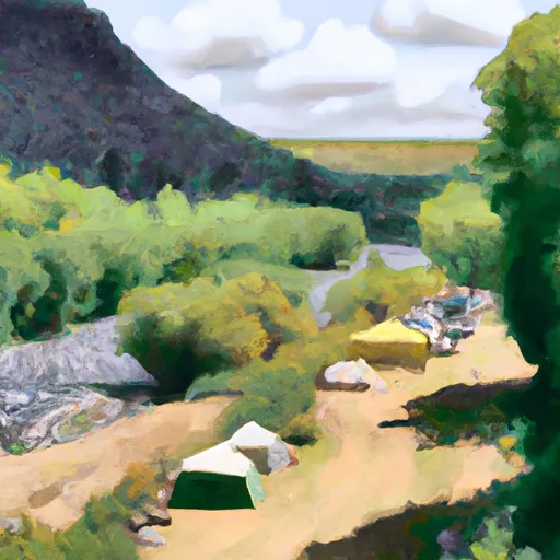 Dolores River Camp 9
|
||
 Aspen Leaf Cabin
|
||
 Dolores River Camp 10
|


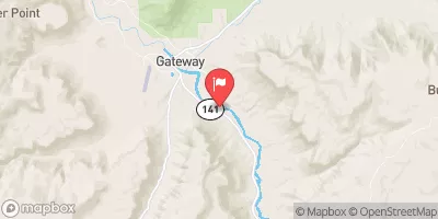
 North Fork Mesa Creek
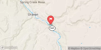
 Lower Dolores River
 San Miguel River Segment 6