Summary
The ideal streamflow range for this river run is between 100 and 500 cfs. The class rating for Dry Creek is III-IV, making it a challenging run for experienced paddlers. The segment mileage for this run is approximately 4 miles, with several rapids and obstacles along the way.
Some of the specific rapids and obstacles on Dry Creek include The S-Turn, Pinball, and The Slot. These sections of the river are known for their technical difficulty and require precise maneuvering to navigate successfully. The river also features several large boulders and drops, adding to the excitement and challenge of the run.
In terms of regulations, Dry Creek is located on private property and requires permission from the landowner to access. Additionally, all paddlers must wear proper safety gear, including a helmet and personal flotation device. It is also important to practice Leave No Trace principles and respect the natural environment while on the river.
Overall, Dry Creek is a thrilling whitewater river run that requires skill and experience to navigate safely. It is important to follow regulations and safety guidelines to ensure a successful and enjoyable trip.
°F
°F
mph
Wind
%
Humidity
15-Day Weather Outlook
River Run Details
| Last Updated | 2025-06-28 |
| River Levels | 1070 cfs (4.15 ft) |
| Percent of Normal | 49% |
| Status | |
| Class Level | None |
| Elevation | ft |
| Streamflow Discharge | cfs |
| Gauge Height | ft |
| Reporting Streamgage | USGS 09174600 |


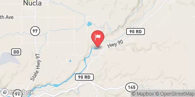
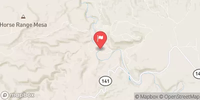
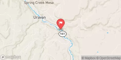
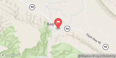
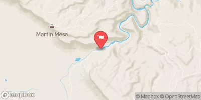
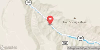
 Dry Creek
 San Miguel River Segment 5