Summary
The ramp is 20 feet wide and has a gentle slope, making it suitable for launching small boats and float tubes. The location of the boat ramp is at the latitude of 38.75830841 and longitude of -108.25815582.
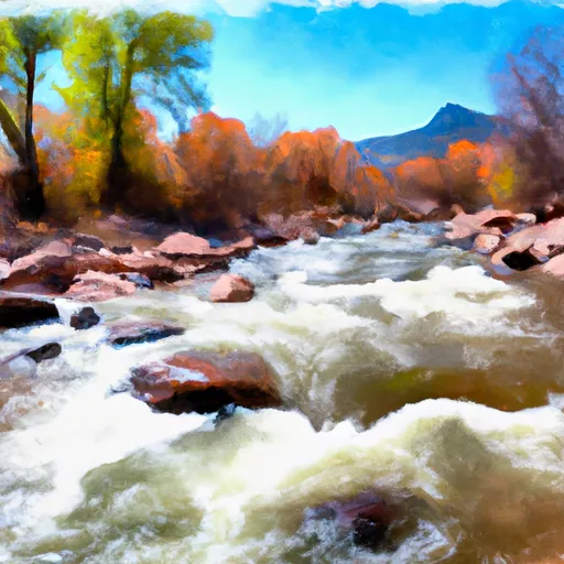
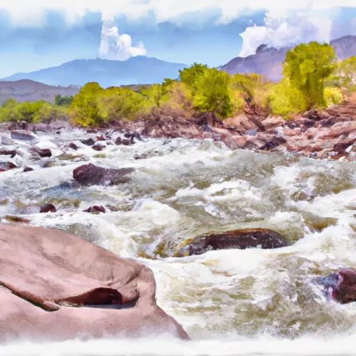
The Gunnison River flows through a deep and narrow canyon in this area, and the water can be fast-moving and challenging. Therefore, only small boats and float tubes are permitted on the river, with no motorized boats allowed. Anglers and recreational boaters often use the boat ramp to access the river for fishing, kayaking, and rafting.
The information on the Delta County website, which was accessed in August 2021, confirms that the Escalante Canyon Road boat ramp is open for public use and provides access to the Gunnison River. However, due to the changing weather and river conditions, it is always advisable to check with the local authorities before launching any watercraft from this boat ramp.
°F
°F
mph
Wind
%
Humidity

 Escalante Canyon Road Delta County
 Escalante Boat Launch
 Roubideau Creek Segment 2
 Gunnison River Segment 2