Summary
The ideal streamflow range for this river is between 500-1500 cfs, with the best time to run it being during late May through early June. It is rated as a Class III river, meaning it is moderately difficult and contains rapids with moderate, irregular waves. The total segment mileage of this river is around 8 miles, with the run taking approximately 2-3 hours.
One of the main rapids on the river is called "The Notch", which is a Class IV drop that requires expert paddling skills to navigate. Other notable rapids on the river include "Boulder Drop", "The S-Turn", and "The Leap". The river also features some natural obstacles such as trees and rocks that require careful maneuvering.
In terms of regulations, all boaters are required to have a valid Colorado Parks and Wildlife Aquatic Nuisance Species (ANS) stamp on their boat. Additionally, there are some areas where camping and fires are prohibited, so it’s important to check with the local authorities before planning a trip.
Overall, Beaver Creek offers an exciting and challenging whitewater experience for intermediate and advanced paddlers. With its beautiful scenery and thrilling rapids, it is a must-visit destination for anyone looking to explore the rivers of Colorado.
°F
°F
mph
Wind
%
Humidity
15-Day Weather Outlook
River Run Details
| Last Updated | 2025-06-28 |
| River Levels | 920 cfs (6.06 ft) |
| Percent of Normal | 59% |
| Status | |
| Class Level | beaver-iii |
| Elevation | ft |
| Streamflow Discharge | cfs |
| Gauge Height | ft |
| Reporting Streamgage | USGS 09172500 |
5-Day Hourly Forecast Detail
Nearby Streamflow Levels
Area Campgrounds
| Location | Reservations | Toilets |
|---|---|---|
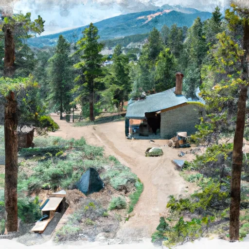 Lone Cone Cabin
|
||
 Woods Lake Campground - Norwood RD
|
||
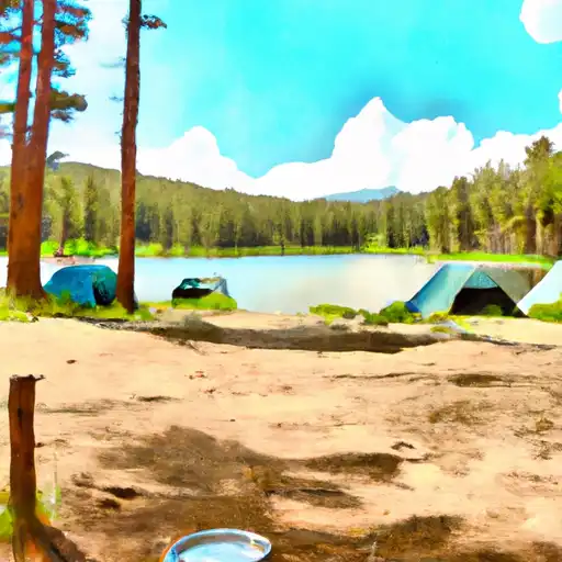 Woods Lake
|
||
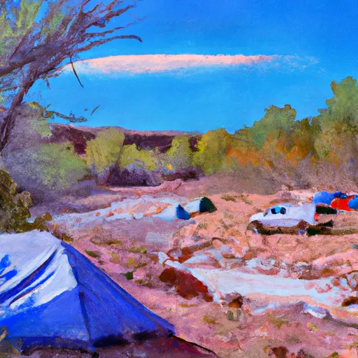 Caddis Flats
|
||
 Miramonte Reservoir - SWA
|
||
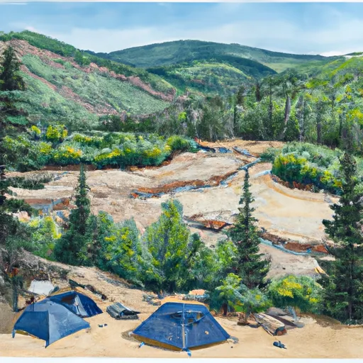 Lower Beaver
|


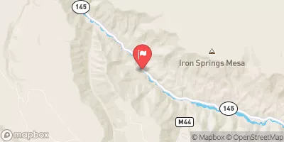
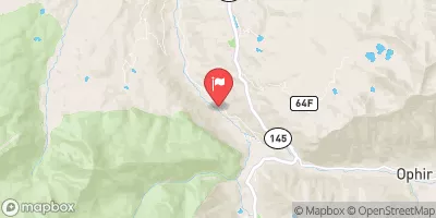
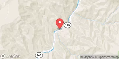
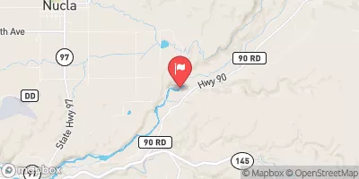
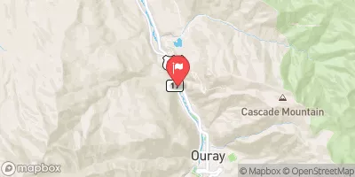
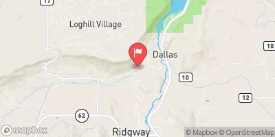
 Specie Creek
 Caddis Flats
 Placerville
 Down Valley Park
 Lower Beaver
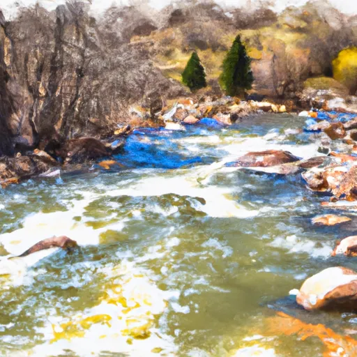 Beaver Creek
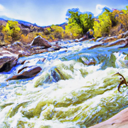 Saltado Creek