Summary
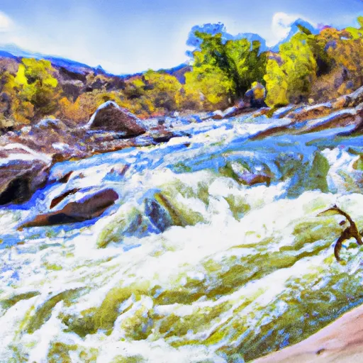
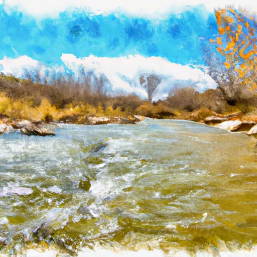
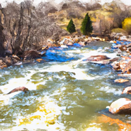
It is a concrete boat ramp that provides access to the San Miguel River.
The width of the boat ramp is not specified in the available information, but it is a popular destination for kayakers and canoers. The San Miguel River is a small river that runs through southwestern Colorado and offers recreational activities such as fishing, kayaking, and canoeing.
It appears that only non-motorized watercraft are permitted on the San Miguel River, so motorboats and other powered watercraft are not allowed. Therefore, the boat ramp at Down Valley Park is ideal for those who want to enjoy a peaceful and quiet paddle on a scenic river.
In summary, the boat ramp named Down Valley Park in Colorado is a concrete boat ramp that provides access to the San Miguel River. It is a popular destination for non-motorized watercraft such as kayaks and canoes.
°F
°F
mph
Wind
%
Humidity

 Down Valley Park
 Placerville
 Caddis Flats
 Specie Creek
 Deep Creek
 Lower Beaver
 Saltado Creek
 San Miguel River Segment 1
 Beaver Creek