Summary
The ideal streamflow range for this segment is between 700-1,200 cfs, which provides Class III to IV rapids for experienced kayakers and rafters. The segment has a class rating of III-IV, with several rapids such as Pine Creek, Triple Drop, and Jump Rock providing exciting challenges for adventurers. The segment is also home to the infamous "Numbers" section, which is known for its technical rapids and steep drops.
There are several regulations specific to this area that visitors should be aware of. Rafters and kayakers are required to have a personal flotation device (PFD) and a helmet at all times while on the water. Additionally, commercial outfitters are required to have a permit to operate in the area and must adhere to strict safety guidelines. Visitors are also encouraged to practice Leave No Trace principles and respect the natural environment.
°F
°F
mph
Wind
%
Humidity
15-Day Weather Outlook
River Run Details
| Last Updated | 2025-06-28 |
| River Levels | 2560 cfs (5.26 ft) |
| Percent of Normal | 54% |
| Status | |
| Class Level | iii |
| Elevation | ft |
| Streamflow Discharge | cfs |
| Gauge Height | ft |
| Reporting Streamgage | USGS 07094500 |


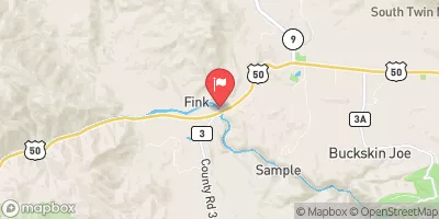
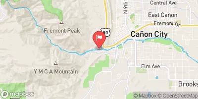

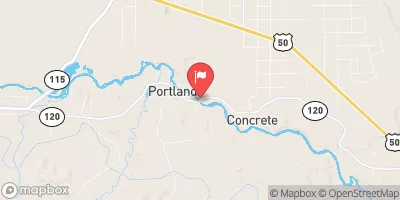
 Grape Creek - Temple Canyon Park
 Five Points - Arkansas Headwaters State Rec Area
 Sand Gulch Campground Campsite 14
 Sand Gulch Campground Campsite 16
 Sand Gulch Campground Campsite 12
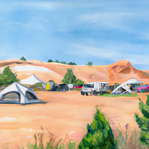 Sand Gulch Campground Campsite 15
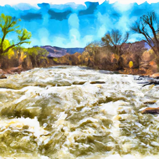 Arkansas River Segment 4
 Royal Gorge
 Grape Creek Segment 3
 Cottonwood Creek