Summary
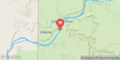
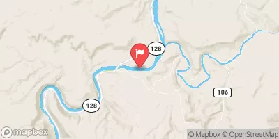
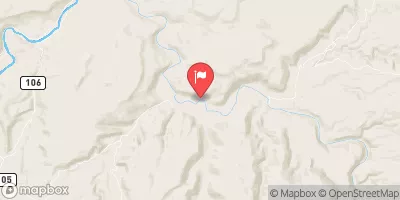
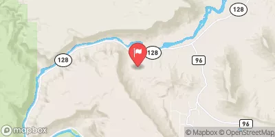
The ideal streamflow range for this river is between 800 and 4,000 cubic feet per second (cfs). The class rating for the river is a IV-V, meaning it is considered a difficult to expert level run. The segment mileage of the Whitewater River Run is approximately four miles, starting at Silverton and ending at Needleton.
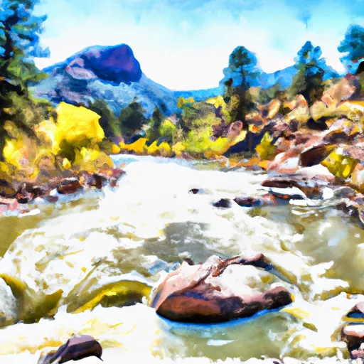
The river run has several notable rapids and obstacles that make it a challenging run for experienced rafters. Some of the specific rapids include "No Name," "Terminal," "Kendall," and "Sledgehammer." The river also has several narrow sections and boulder fields that require precise maneuvering.
In terms of regulations, the Whitewater River Run has specific permit requirements for commercial outfitters. Additionally, all rafters are required to wear a personal flotation device (PFD) at all times and are encouraged to wear helmets.
°F
°F
mph
Wind
%
Humidity
15-Day Weather Outlook
River Run Details
| Last Updated | 2025-06-28 |
| River Levels | 22000 cfs (9.91 ft) |
| Percent of Normal | 35% |
| Status | |
| Class Level | None |
| Elevation | ft |
| Streamflow Discharge | cfs |
| Gauge Height | ft |
| Reporting Streamgage | USGS 09163500 |


 Unknown