Summary
The ideal streamflow range for this segment is between 800 and 3000 cfs. It is rated as a Class III-IV run, with challenging rapids and obstacles throughout the 47-mile stretch.
Some of the notable rapids and obstacles in this segment include Snaggletooth, Stateline, Slickrock, and Pinball. The Snaggletooth rapid is a particularly challenging section with a tight S-curve and multiple drops. Stateline rapid has several large waves and drops that require precise navigation. Slickrock is a long and technical rapid with narrow channels and numerous obstacles.
The segment is managed by the Bureau of Land Management (BLM) and has specific regulations to protect the natural resources and wildlife in the area. Some of these regulations include a limit on the number of people per group and designated campsites to minimize human impact on the environment.
Overall, the Dolores River, McPhee to Bedrock segment offers a thrilling whitewater experience with beautiful scenery and challenging obstacles. It is important to follow regulations and guidelines for responsible use of this natural resource.
°F
°F
mph
Wind
%
Humidity
15-Day Weather Outlook
River Run Details
| Last Updated | 2025-06-28 |
| River Levels | 2140 cfs (5.41 ft) |
| Percent of Normal | 35% |
| Status | |
| Class Level | iii-iv |
| Elevation | ft |
| Streamflow Discharge | cfs |
| Gauge Height | ft |
| Reporting Streamgage | USGS 09166500 |
5-Day Hourly Forecast Detail
Nearby Streamflow Levels
Area Campgrounds
| Location | Reservations | Toilets |
|---|---|---|
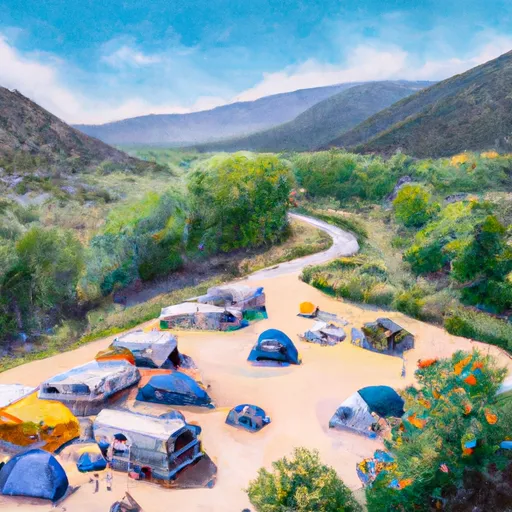 Ferris Canyon Campground
|
||
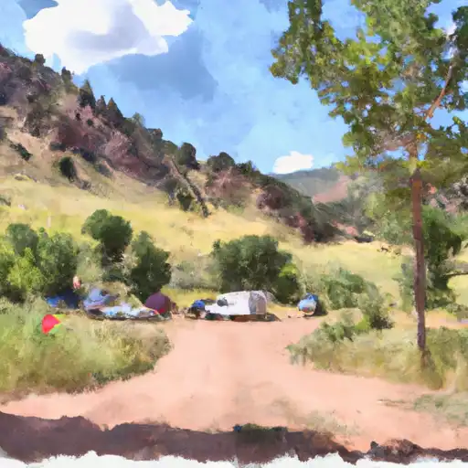 Ferris Canyon
|
||
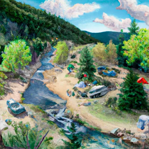 House Creek Campground
|
||
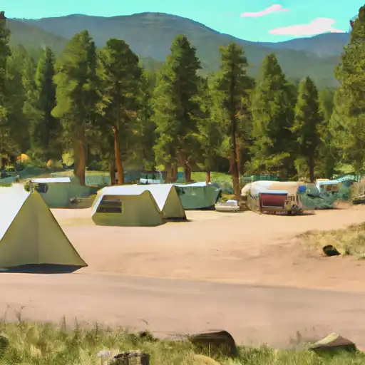 House Creek
|
||
 Mcphee
|
||
 McPhee Campground
|


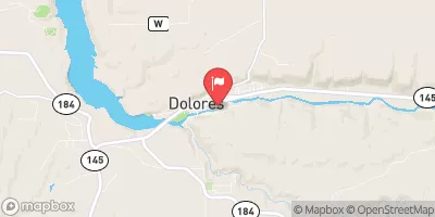
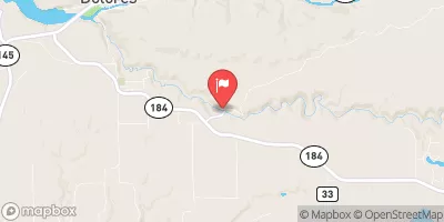
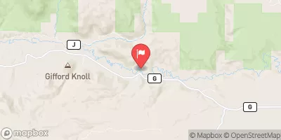
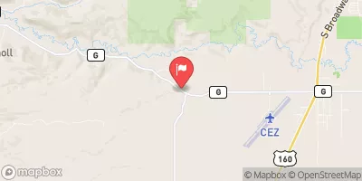
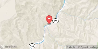
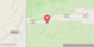
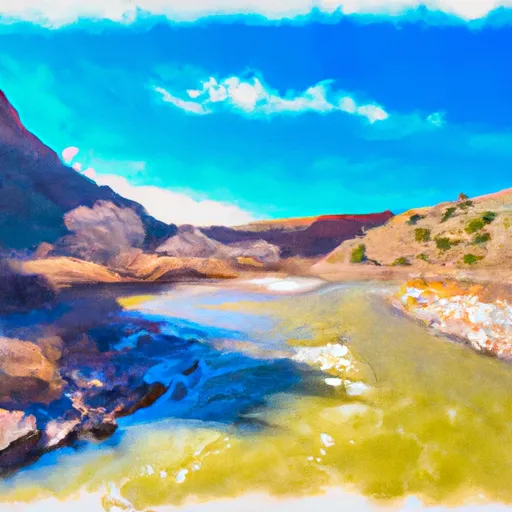 Dolores River - Mcphee To Bedrock Segment In Tres Rios Field Office
 West Section Line Sec 2, T38N, R16W (Below Mcphee Reservoir) To Bradfield Ranch Bridge
 Dolores Canyon (Bradfield to Slickrock)