Make an Announcement

Communicate warnings, disperse advice, and share.


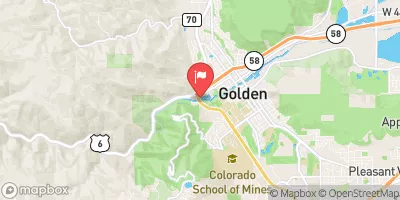
GOLDEN WHITEWATER PARK

Whitewater River Run


Colorado Clear Creek

Golden Whitewater Park

Class II+

STREAMFLOW: 1,630 CFS

Too High
78°, Chance Showers Then Chance T-Storms

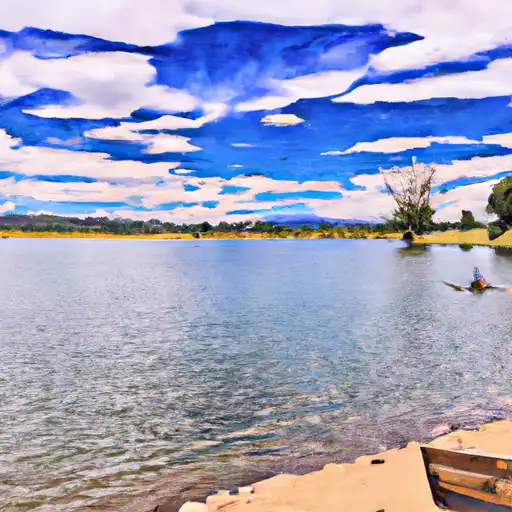
The Golden Whitewater Park river run in Colorado is a Class III-IV rapids experience, featuring numerous obstacles such as rocks, drops, and eddies. This river run is best tackled during the summer months when water levels are higher, with a recommended flow of 500-1200 CFS. Rapids such as "The Dangler" and "The Cut" offer thrilling challenges, while more mellow sections allow for scenic floats. It's important to note that the Golden Whitewater Park is designed specifically for kayakers and paddle boarders, and may not be suitable for other types of watercraft.

Weather today, A chance of showers between 11am and noon, then a chance of showers and thunderstorms after noon. Partly sunny, with a high near 78. Light and variable wind becoming east southeast 8 to 13 mph in the morning. Winds could gust as high as 21 mph. Chance of precipitation is 50%.

Status Too High
Class Level II+
Elevation 4,871 ft
Run Length 0.8 Mi
Streamflow Discharge 1630 cfs
Gauge Height 6.6 ft
Reporting Streamgage Cache La Poudre R Ab Boxelder C
USGS 06752280

Nearby Snowpack and Streamflow Levels

Gauge Streamflow Stage
St Vrain Cr Blw Boulder Cr At Hwy 119 Nr Longmont
USGS 06730525
1,070 cfs 11.3 ft
Clear Creek At Mouth
USGS 06720000
604 cfs 5.6 ft
Colorado River Below Lake Granby
USGS 09019000
66 cfs 3.8 ft
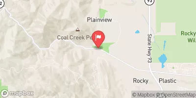
Coal Creek Near Plainview
USGS 06730300
13 cfs 1.0 ft
First Cr Ab 96Th Ave
USGS 06720480
1 cfs ft
Left Hand Creek At Hover Road Near Longmont
USGS 06724970
79 cfs 6.7 ft
St. Vrain Creek Below Longmont
USGS 06725450
-999,999 cfs ft
Fraser River At Upper Sta
USGS 09022000
80 cfs 1.6 ft
Willow Creek Below Willow Creek Reservoir
USGS 09021000
8 cfs 2.5 ft
Boulder Creek At Mouth
USGS 06730500
438 cfs 11.4 ft
Snotel Site Snowpack 24hr Change
High Lonesome
SNOTEL 1187
1" 0"
Bear Lake
SNOTEL 322
2" 0"
Lake Irene
SNOTEL 565
5" -1"
University Camp
SNOTEL 838
14" -3"
Crow Creek
SNOTEL 1045
2" 3"
Hourglass Lake
SNOTEL 1122
1" 0"
Sawtooth
SNOTEL 1251
10" 0"
Berthoud Summit
SNOTEL 335
17" -2"

Popular Destinations

Campground Campsites Reservations Toilets Showers Elevation
Molly Gulch 15 7,490 ft
Carter Lake - North Side Campgrounds None 5,792 ft
Inlet Bay - Horsetooth Reservoir None 5,437 ft
Pinewood Reservoir 22 6,604 ft
Blue Mountain 21 8,079 ft
Devils Head 21 8,856 ft
Green Mountain 6 7,615 ft
Lone Rock 20 6,410 ft
Boulder County Fairground None 4,974 ft
Aspen Meadow - Golden Gate Canyon State Park 35 9,000 ft
Bear Creek Lake Park 52 5,693 ft
Meadow Park None 5,349 ft
Standley Lake None 5,530 ft
Platte River 10 6,333 ft
Goose Creek 10 7,701 ft
Boyd Lake State Park 148 4,991 ft
Painted Rocks 18 7,836 ft
Round Mountain 15 8,531 ft
Trail Creek None 7,844 ft
Colorado 81 7,806 ft
Riverside 18 8,052 ft
Buffalo 41 7,321 ft
South Bay - Horsetooth Reservoir None 5,435 ft
Wigwam 10 6,606 ft
Flatiron Reservoir None 5,483 ft
Ouzel 13 6,285 ft
Wildhorn 9 8,856 ft
South Meadows 64 7,897 ft
Jackson Creek 9 8,179 ft
Indian Creek 11 7,562 ft
Springdale 13 9,304 ft
Osprey 13 6,217 ft
Chatfield State Park 193 5,494 ft
Springer Gulch 15 8,324 ft
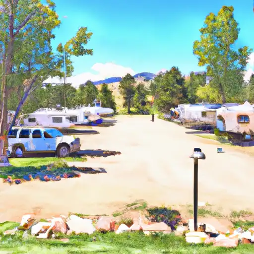
Clear Creek RV Park 36 5,684 ft
Flat Rocks 19 8,245 ft
Union Reservoir 42 4,957 ft
Carter Lake - South Side Campgrounds None 5,711 ft
Happy Meadows 8 7,879 ft
Kelsey 17 8,035 ft
Ski Area Snowpack Air Temperature 5 Day Forecast
Echo Mountain Park 0" 54° 0"
Ski Estes Park (Hidden Valley) 2" 59° 0"
Eldora Mountain Resort 0" 58° 0"
Ski Broadmoor 0" 48° 0"
River Run Streamflow Length Class
Main Section 925.0cfs 3.0 Mi IV+ to V
SSV - Confluence to Picnic Grounds 721.0cfs 5.0 Mi V to V+
Idledale to Morrison 204.0cfs 3.0 Mi IV+ to V
October Hole 721.0cfs None Mi II
Middle Narrows 1870.0cfs 1.0 Mi IV to V-
Tunnel 1 to Golden Whitewater Park 749.0cfs None Mi III- to III+
Steven's Gulch to Bridges Take Out 1870.0cfs 12.0 Mi III- to IV+
Lower North Fork 1870.0cfs 11.0 Mi III
Golden Whitewater Park 1630.0cfs 0.75 Mi II+
Upper North Fork 343.0cfs 9.0 Mi IV+ to V-
Upper South Boulder Creek 635.0cfs None Mi V+
Upper Narrows 1870.0cfs 0.5 Mi V- to V+
Upper South Boulder Creek 635.0cfs None Mi V+
Filter Plant 1630.0cfs None Mi II to III+
Upper Clear Creek 749.0cfs 2.5 Mi IV- to IV+
NSV 721.0cfs 13.0 Mi V+
Rustic (Upper) 1870.0cfs 20.0 Mi III to III+
Gnar Section 552.0cfs 1.0 Mi V+
Lower Narrows 1870.0cfs 0.5 Mi V- to V+
Lower Boulder Canyon 438.0cfs None Mi IV- to V-
Filter Plant 1630.0cfs None Mi II to III+
Royal Gorge 2370.0cfs 10.0 Mi IV- to IV

Log Your Visit

When was your last visit to Golden Whitewater Park?

Add a Photo

How was it? How were conditions?

Rate the paddle


Submit

Leave A Review

Golden Whitewater Park

Submit

Upload an Image

Golden Whitewater Park
Login

Need an Account?

Forgot Your Password?

Delete User Account

Welcome to Snoflo


Continue with a free account

Already Have an Account?


Snoflo Premium

Your first week's free. Cancel anytime

Have a Promo Code?


Already Have an Account?

Signup for Basic Access


Welcome to Snoflo


Continue with a free account

Add Snoflo Premium


Already Have an Account?


Please Verify Your Account

Favorite Limit Reached
Signup for a Free Account

Already Have an Account?