Summary
The river includes Class II and III rapids and several challenging obstacles like rock gardens, small drops, and tight turns. The best time to float this section of water is from May to September, with recommended CFS levels between 1,000 and 5,000. The canyon's towering cliffs and sweeping views make for a breathtaking backdrop to the exciting river run. Overall, it's a fantastic adventure for anyone looking for a thrilling Colorado River experience.
°F
°F
mph
Wind
%
Humidity
15-Day Weather Outlook
River Run Details
| Last Updated | 2023-06-13 |
| River Levels | 4120 cfs (4.04 ft) |
| Percent of Normal | 123% |
| Optimal Range | 1000-25000 cfs |
| Status | Runnable |
| Class Level | II to II+ |
| Elevation | 4,330 ft |
| Run Length | 27.0 Mi |
| Gradient | 5 FPM |
| Streamflow Discharge | 2080 cfs |
| Gauge Height | 2.9 ft |
| Reporting Streamgage | USGS 09163500 |
5-Day Hourly Forecast Detail
Nearby Streamflow Levels
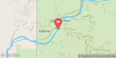 Colorado River Near Colorado-Utah State Line
|
2080cfs |
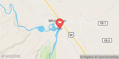 Gunnison River Near Grand Junction
|
780cfs |
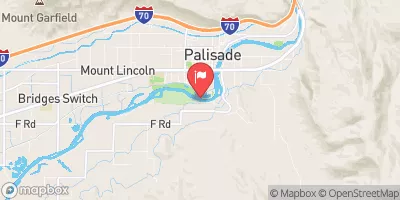 Colo River Blw Grd Valley Div Nr Palisade Co
|
1170cfs |
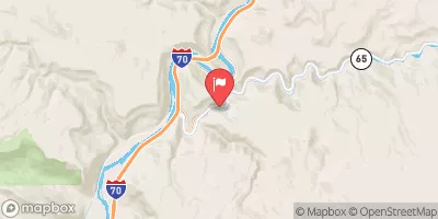 Plateau Creek Near Cameo
|
43cfs |
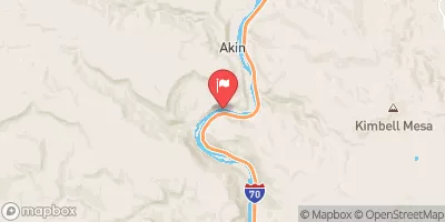 Colorado River Near Cameo
|
1160cfs |
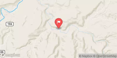 Dolores River Near Cisco
|
116cfs |
Area Campgrounds
| Location | Reservations | Toilets |
|---|---|---|
 Beavertail 1
|
||
 Beavertail 2
|
||
 Bull Draw
|
||
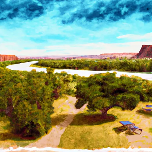 Fruita - Colorado River State Park
|
||
 Banjo
Banjo
|
||
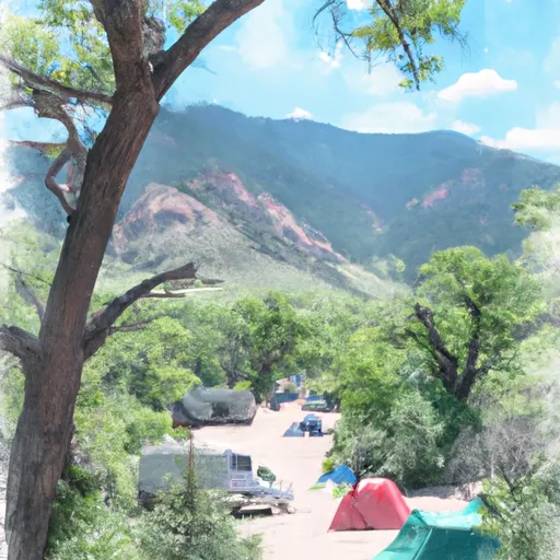 Cottonwood 1
|


 Horsethief and Ruby Canyons
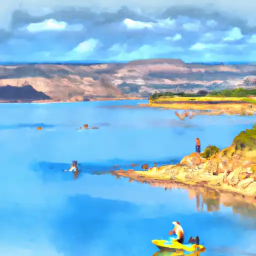 Fruita Reservoir Number 2
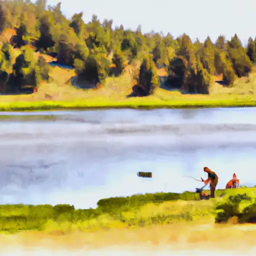 Highline Lake
 Mack Mesa Lake
 Connected Lakes