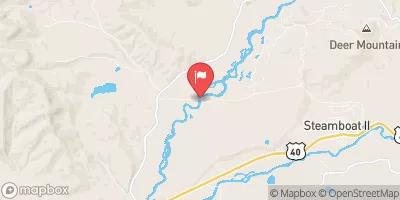
Lower Fish Creek
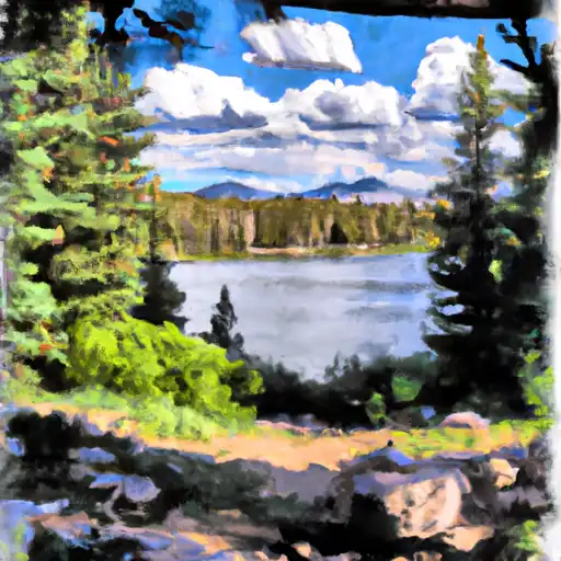
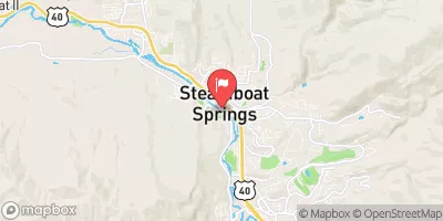
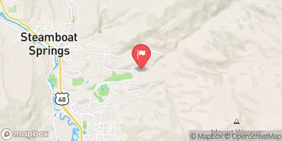
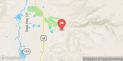
A nick easier than the upper section, Lower Fish Creek is a short fun creekboat run in Steamboat. Wood is often the most significant hazard on this run, so try to get the local wood report before running it. At low water it can be manky but at high water it's a rollercoaster ride. This section often includes what the locals call the middle section (between the 2 diversion dams).
Suggested river levels for paddling this section of the Fish Creek are between a bare minimum of 250cfs and a high of 1,500cfs.
River conditions sourced from USGS 09238900, the Fish Cr At Upper Sta Nr Steamboat Springs
Remember only watercraft are permitted
at Lower Fish Creek.
Run Stats
Status | Too Low |
Class Level | IV+ to V |
Elevation | 7,163 ft |
Run Length | 2.5 Mi |
Streamflow Discharge | 302 cfs |
Gage Height | 2.1 ft |
Air Temperature | 77° |
River | Fish Creek |
Reporting Streamgage |
Fish Cr At Upper Sta Nr Steamboat Springs
USGS 09238900 |
Gauge | Streamflow | Stage |
---|---|---|
Eagle River Near Minturn
USGS 09064600 |
530 cfs | 4.7 ft |
Gore Creek Abv Red Sandstone Creek At Vail
USGS 09066325 |
493 cfs | 7.7 ft |
Piney River Below Piney Lake
USGS 09058500 |
121 cfs | 4.2 ft |
Eagle River Below Gypsum
USGS 09070000 |
2,070 cfs | 6.4 ft |
Muddy Creek Above Antelope Creek Nr. Kremmling
USGS 09041090 |
441 cfs | 5.9 ft |
Roaring Fork River At Glenwood Springs
USGS 09085000 |
3,470 cfs | 4.7 ft |
Beaver Creek At Avon
USGS 09067000 |
40 cfs | 2.6 ft |
Yampa River Above Stagecoach Reservoir
USGS 09237450 |
43 cfs | 2.1 ft |
Yampa River At Steamboat Springs
USGS 09239500 |
2,150 cfs | 4.8 ft |
Cross Creek Near Minturn
USGS 09065100 |
397 cfs | 4.8 ft |
Snotel Site | Snowpack | 24hr Change |
---|---|---|
climax coop
SNOTEL CLXC2 |
4.73" | -3.55" |
gothic
SNOTEL GTHC2 |
10.47" | -2.15" |
Campground | Campsites | Reservations | Toilets | Showers | Elevation |
---|---|---|---|---|---|
Dry Lake | 8 | 8,279 ft | |||
Lynx Pass | 11 | 8,987 ft | |||
Pearl Lake State Park | 38 | 8,138 ft | |||
Hinman Park | 13 | 7,678 ft | |||
Steamboat Lake State Park | 178 | 8,077 ft | |||
Granite | 8 | 9,885 ft | |||
Seedhouse | 24 | 8,071 ft | |||
Summit Lake | 15 | 10,326 ft | |||
Stagecoach State Park | 100 | 7,307 ft | |||
Meadows | 30 | 9,288 ft | |||
Walton Creek | 14 | 9,392 ft |
Ski Area | Snowpack | Air Temperature | 5 Day Forecast |
---|---|---|---|
Howelsen Hill Ski Area | 42" | 72° | 5.23" |
Steamboat Ski Resort | 42" | 72° | 5.23" |
River Run | Streamflow | Length | Class |
---|---|---|---|
Pumphouse | 552.0cfs | 14.0 Mi | II- to III+ |
Burns to Dotsero | 3520.0cfs | 29.0 Mi | I to IV |
Pumphouse to Double Bridges | 1300.0cfs | 12.5 Mi | I to II- |
Lower Fish Creek | 35.6cfs | 2.5 Mi | IV+ to V |
State Bridge to Two Bridges | 552.0cfs | 4.8 Mi | I to II+ |
State Bridge to Burns | 552.0cfs | 20.0 Mi | I to II+ |