2026-02-14T05:00:00-07:00
* WHAT...Snow expected. Total snow accumulations between 4 and 8 inches. * WHERE...The Mountains of Summit County, the Mosquito Range, and the Indian Peaks. * WHEN...From 2 PM this afternoon to 5 AM MST Saturday. The heaviest snow is expected to fall this evening. * IMPACTS...Plan on slippery road conditions. The hazardous conditions will impact the Friday evening commute and ski travel between Denver and Summit County.
Summary
The best time to float this section is between May and August, with recommended CFS of 200 to 600. Some of the notable rapids include The Nozzle, The S-Turn, and The Maze. There are also some calmer stretches that offer opportunities for fishing and scenic views. Overall, this section is best suited for intermediate paddlers with previous whitewater experience.
°F
°F
mph
Wind
%
Humidity
15-Day Weather Outlook
River Run Details
| Last Updated | 2023-06-13 |
| River Levels | 61 cfs (2.11 ft) |
| Percent of Normal | 81% |
| Optimal Range | 350-1000 cfs |
| Status | Too Low |
| Class Level | III+ to IV |
| Elevation | 9,111 ft |
| Run Length | 3.0 Mi |
| Streamflow Discharge | 14.4 cfs |
| Gauge Height | 1.7 ft |
| Reporting Streamgage | USGS 09050100 |
5-Day Hourly Forecast Detail
Nearby Streamflow Levels
Area Campgrounds
| Location | Reservations | Toilets |
|---|---|---|
 Peak One Campground
|
||
 Peak One
|
||
 Pine Cove Campground
|
||
 Pine Cove
|
||
 Heaton Bay
|
||
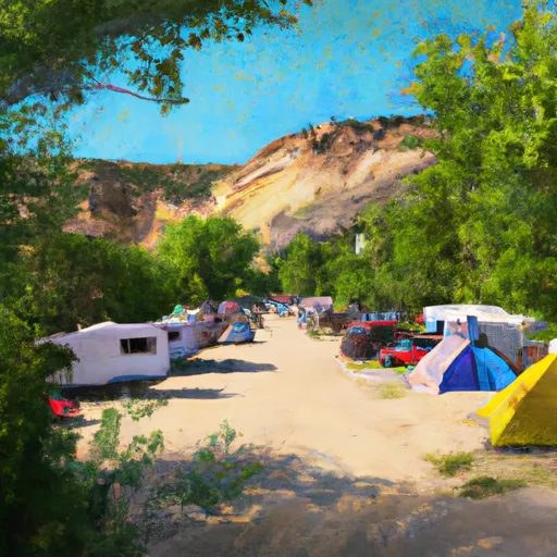 Heaton Bay Campground
|


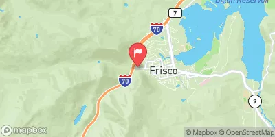
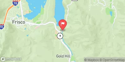
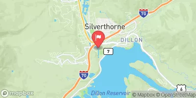
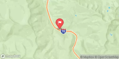
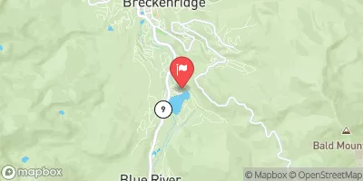

 Middle Ten Mile
 Upper Ten Mile
 Lower Ten Mile
 Upper-Upper Ten Mile
 Breckenridge Whitewater Park (Town Run)
 Silverthorne Town Run
 Windy Point Fisherman Park
 Bighorn Park
 Wilderness Ptarmigan Peak
 Booth Creek Park
 Curtain Ponds
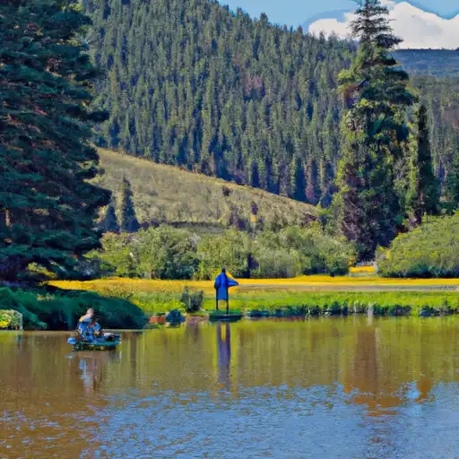 Black Lakes (Vail)
 Giberson Bay Day Use Fishing Site
 Dillon Reservoir
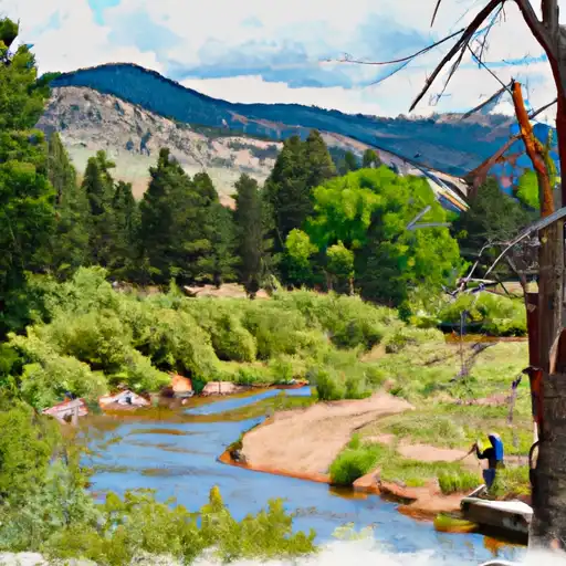 Kiln Creek