Summary
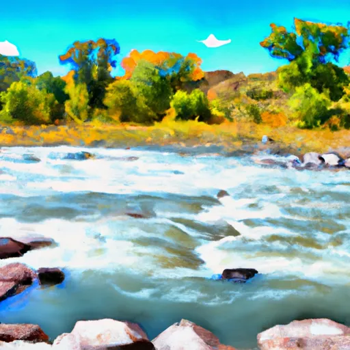
This section offers Class I-II rapids with no major obstacles to navigate. The best time to float this section is during the summer months when the water flow is between 500-1,500 cfs. It's important to note that the water temperature can be chilly, so bringing proper gear is recommended. Overall, the Milk Run is a fun and easy float for those looking for a relaxing day on the water.
°F
°F
mph
Wind
%
Humidity
15-Day Weather Outlook
River Run Details
| Last Updated | 2023-06-13 |
| River Levels | 183 cfs (11.18 ft) |
| Percent of Normal | 88% |
| Optimal Range | 400-5000 cfs |
| Status | Too Low |
| Class Level | II+ to III- |
| Elevation | 8,629 ft |
| Run Length | 4.0 Mi |
| Gradient | 30 FPM |
| Streamflow Discharge | 157 cfs |
| Gauge Height | 11.0 ft |
| Reporting Streamgage | USGS 07087050 |
5-Day Hourly Forecast Detail
Nearby Streamflow Levels
 Arkansas River Near Nathrop
|
258cfs |
 Arkansas River Below Granite
|
157cfs |
 Clear Creek Above Clear Creek Reservoir
|
-999cfs |
 Arkansas River At Granite
|
86cfs |
 Arkansas River At Salida
|
233cfs |
 Arkansas River Near Wellsville
|
246cfs |


 Railroad Bridge - Arkansas Headwaters State Rec Area
 Ruby Mountain - Arkansas Headwaters State Rec Area
 Ruby Mountain
 Camp site, free, without facilities
 Mushroom Gulch Site 1
 Mushroom Gulch Site 2
 AHRA - Fishermans Bridge Rec Site
 AHRA - Ruby Mountain Rec Sits
 CR 300 22504, Nathrop
 AHRA - Railroad Bridge Rec Site
 AHRA - Hecla Junction Rec Site
 AHRA - Number 4 Rec Site
 Milk Run
 Arkansas River Segment 2
 Buena Vista Whitewater Park
 Browns Canyon (Fisherman's Bridge to Stone Bridge)
 Fractions