Summary
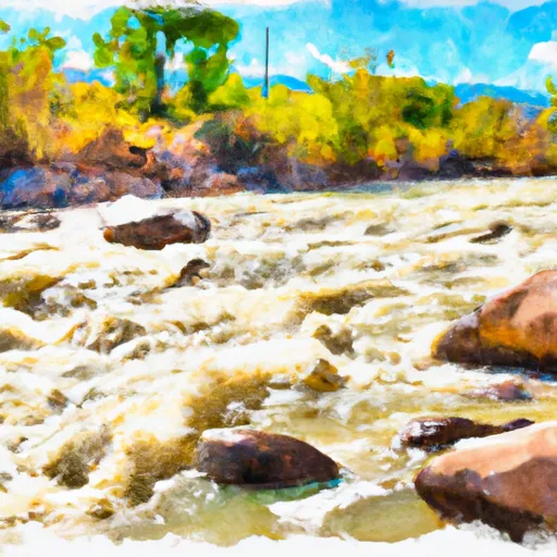
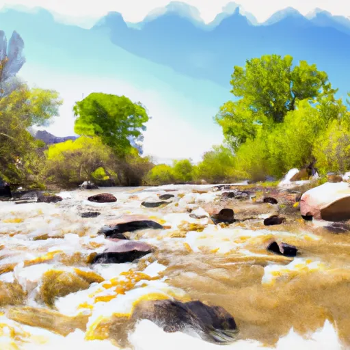
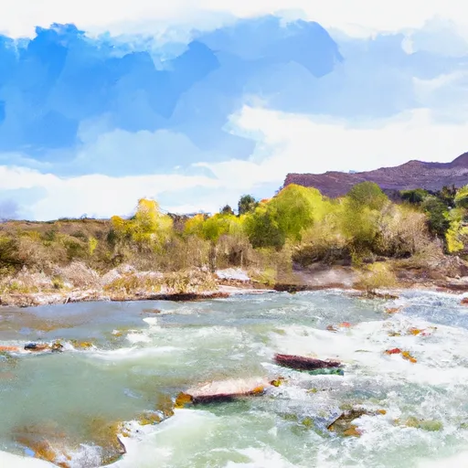
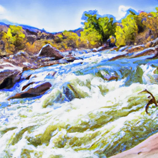
With Class II and III rapids along the way, the river run is moderate in difficulty. The best time to float this section of water is during the spring months, when the water levels are higher and the rapids are more challenging. It is recommended to float this section of water at a flow rate between 500-1,500 CFS. Some of the specific river obstacles to look out for include the "Pinball" section, "S-Turn" rapid, and the "Toilet Bowl" rapid. Overall, the Norwood Canyon River Run is a fun and exciting adventure for anyone looking to explore the beautiful Colorado wilderness.
°F
°F
mph
Wind
%
Humidity
15-Day Weather Outlook
River Run Details
| Last Updated | 2023-06-13 |
| River Levels | 179 cfs (4.57 ft) |
| Percent of Normal | 109% |
| Optimal Range | 700-1200 cfs |
| Status | Too Low |
| Class Level | III |
| Elevation | 7,011 ft |
| Run Length | 16.0 Mi |
| Gradient | 50 FPM |
| Streamflow Discharge | 44.5 cfs |
| Gauge Height | 3.8 ft |
| Reporting Streamgage | USGS 09172500 |
5-Day Hourly Forecast Detail
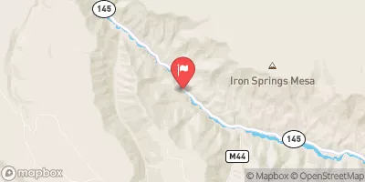
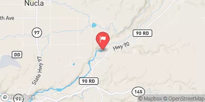
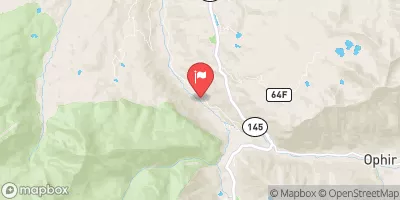
Nearby Streamflow Levels
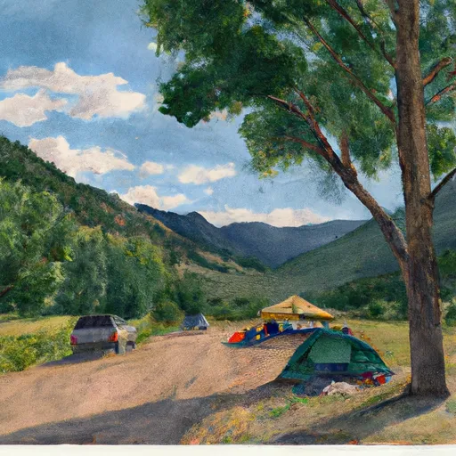
Area Campgrounds
| Location | Reservations | Toilets |
|---|---|---|
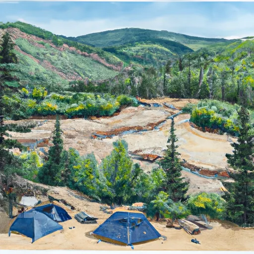 Lower Beaver
|
||
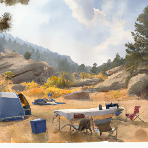 Little Bench Camp
|
||
 Ponderosa Camp
|
||
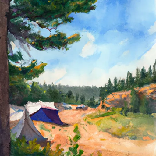 Blue Spruce Camp
|
||
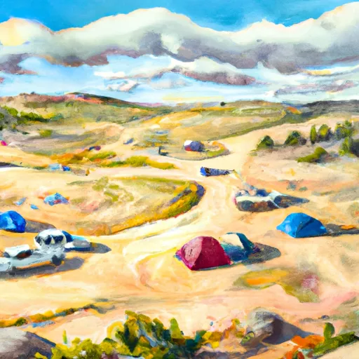 Jutten Camp
|
||
 Horsefly Camp
|


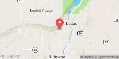
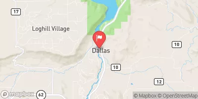
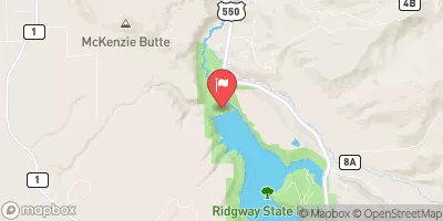
 Lower Beaver
 Specie Creek
 Caddis Flats
 Placerville
 Ledges Rockhouse
 Norwood Canyon
 San Miguel River Segment 2
 Naturita Creek
 San Miguel River Segment 3
 Ledges
 Saltado Creek