Summary
The run features numerous technical rapids, including the infamous Toilet Bowl and Staircase, as well as dangerous undercut rocks and steep drops. The ideal time to float this section of water is in the late spring or early summer, when the water levels are high, ranging from 600-1200 cfs. It is important to note that this section of water is not recommended for beginners or those without proper training and experience.
°F
°F
mph
Wind
%
Humidity
15-Day Weather Outlook
River Run Details
| Last Updated | 2023-06-13 |
| River Levels | 38 cfs (2.98 ft) |
| Percent of Normal | 128% |
| Optimal Range | 250-600 cfs |
| Status | Too High |
| Class Level | V+ |
| Elevation | 5,305 ft |
| Run Length | 13.0 Mi |
| Streamflow Discharge | 14.2 cfs |
| Gauge Height | 2.8 ft |
| Reporting Streamgage | USGS 06724000 |
5-Day Hourly Forecast Detail
Nearby Streamflow Levels
Area Campgrounds
| Location | Reservations | Toilets |
|---|---|---|
 Olive Ridge Campground
|
||
 Olive Ridge
|
||
 Allenspark Dispersed Camping
|
||
 Meadow Mountain Ranch
|
||
 Meeker Park Overflow
|
||
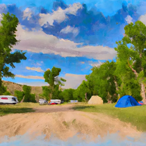 Meeker Park Overflow Campground
|


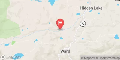
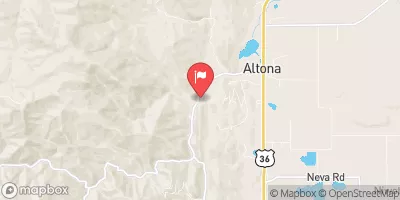
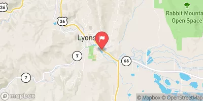
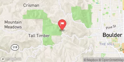
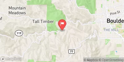
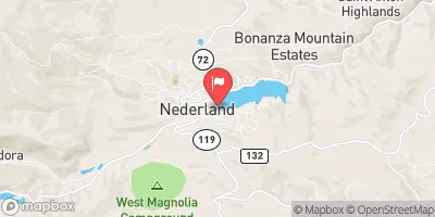
 NSV
NSV
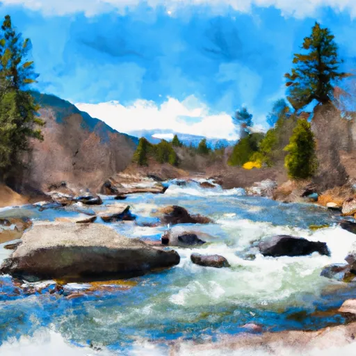 Begins 0.5 Miles Upstream From End Of County Hwy 115 To Eastern Boundary Of Rocky Mountain National Park
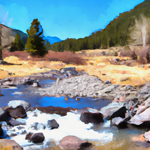 Headwaters To Ends 0.5 Miles Upstream From End Of County Hwy 115
 SSV - Confluence to Picnic Grounds
 Black Bear Hole & A-Hole
 October Hole
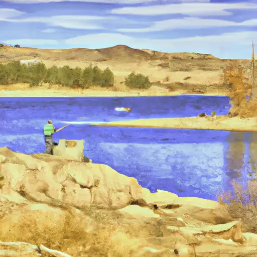 Ralph Price Reservoir (Button Rock)
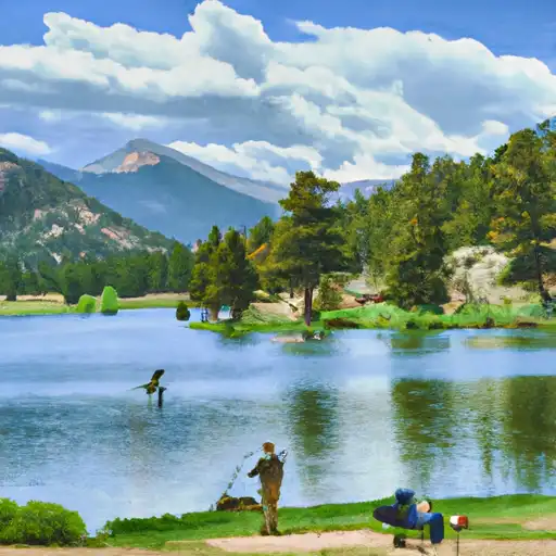 Sandbeach Lake - RMNP
 South Saint Vrain Fishing Site #5
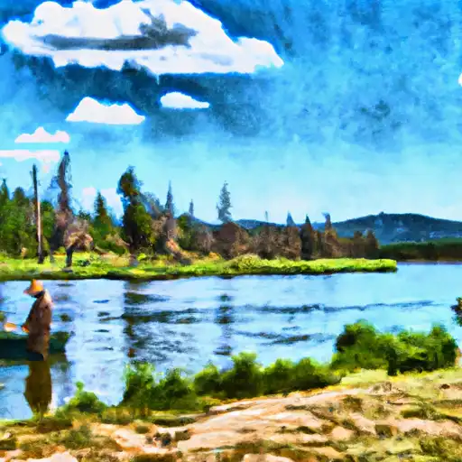 Pony Lake - IPWA
 Peacock Pool - RMNP