Summary
The river features several obstacles including Class III and IV rapids, tight turns, and steep drops. The run is best suited for experienced rafters and kayakers. The recommended time of year to float this section is during the late spring and early summer when water levels are at their highest, with a recommended CFS (cubic feet per second) range of 1,000 to 2,500. It is important to note that this section of the river can be dangerous and should only be attempted by experienced paddlers.
°F
°F
mph
Wind
%
Humidity
15-Day Weather Outlook
River Run Details
| Last Updated | 2023-06-13 |
| River Levels | 38 cfs (2.98 ft) |
| Percent of Normal | 128% |
| Optimal Range | 80-500 cfs |
| Status | Too High |
| Class Level | II |
| Elevation | 5,305 ft |
| Streamflow Discharge | 12.8 cfs |
| Gauge Height | 2.8 ft |
| Reporting Streamgage | USGS 06724000 |
5-Day Hourly Forecast Detail
Nearby Streamflow Levels
 St. Vrain Creek At Lyons
|
13cfs |
 Left Hand Creek Near Boulder
|
-999cfs |
 Left Hand Creek At Hover Road Near Longmont
|
2cfs |
 Boulder Cr At North 75th St Nr Boulder
|
12cfs |
 St. Vrain Creek Below Longmont
|
-999999cfs |
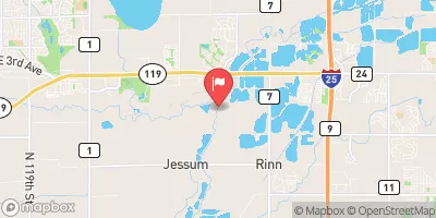 Boulder Creek At Mouth
|
37cfs |


 Meadow Park
 Carter Lake - South Side Campgrounds
 Boulder County Fairground
 North Pine Campground
 Carter Lake - North Side Campgrounds
 Pinewood Reservoir
 October Hole
 Black Bear Hole & A-Hole
 SSV - Confluence to Picnic Grounds
 NSV
NSV
 Hover Park
 Raber Park
 Golden Ponds Park
 Loomiller Park
 Boulder County Park
 South Saint Vrain Fishing Site #2
 Pella Crossing
 South Saint Vrain Fishing Site #4
 McIntosh Lake
 Ralph Price Reservoir (Button Rock)