Summary
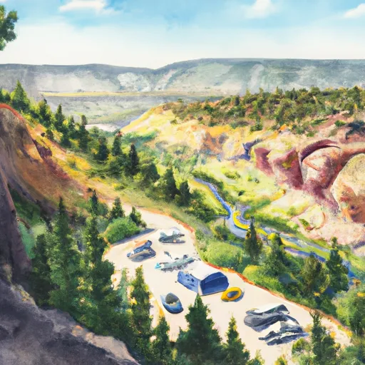
The river features numerous technical rapids, including tight drops, boulder gardens, and steep chutes that require precise navigation. The best time to float this section of water is during the spring runoff season between May and June, when water levels are at their highest. At these times, flows can range from 300 to 800 cfs, providing plenty of excitement for adventurous paddlers. However, it is important to note that this section of river should only be attempted by experienced boaters with the appropriate gear and safety equipment, as the risk of injury is high.
°F
°F
mph
Wind
%
Humidity
15-Day Weather Outlook
River Run Details
| Last Updated | 2023-06-13 |
| River Levels | 5 cfs (3.92 ft) |
| Percent of Normal | 205% |
| Optimal Range | 250-800 cfs |
| Status | Too Low |
| Class Level | V+ |
| Elevation | 5,109 ft |
| Streamflow Discharge | 5 cfs |
| Gauge Height | 3.9 ft |
| Reporting Streamgage | USGS 06730200 |
5-Day Hourly Forecast Detail
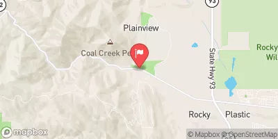
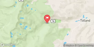
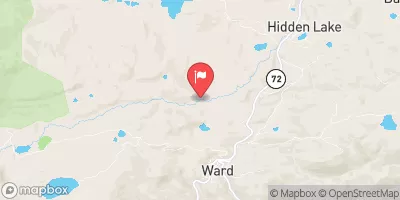
Nearby Streamflow Levels
Area Campgrounds
| Location | Reservations | Toilets |
|---|---|---|
 Kelly Dahl
|
||
 Kelly Dahl Campground
|
||
 Site 08
|
||
 Loop J 88-97
|
||
 Loop I 73-87
|
||
 Reverends Ridge - Golden Gate State Park
|


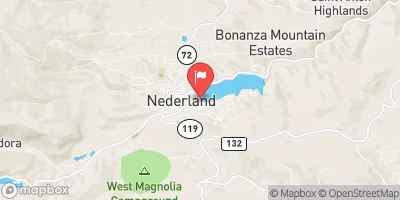
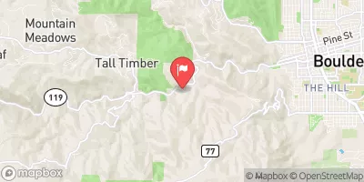
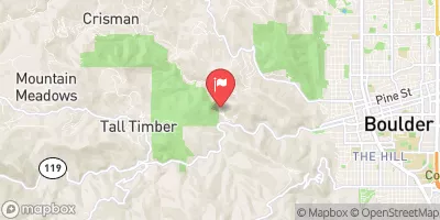
 Upper South Boulder Creek
 Lower Boulder Canyon
 Asel Open Space Park
 Walker Ranch Park
 North Jeffco Mountain Park
 Boulder Mountain Park
 Protection Area (National) Bowen Gulch Protection Area (National)
 Golden Gate Canyon State Park
 Peterson Lake (Nederland)
 Rainbow Lakes - IPWA
 Viele Lake
 Lost Lake - JPWA