2026-02-19T05:00:00-07:00
* WHAT...Heavy snow. Total snow accumulations between 10 and 20 inches with locally higher amounts possible. Winds gusting as high as 60 mph. * WHERE...Grand and Battlement Mesas and West Elk and Sawatch Mountains. * WHEN...Until 5 AM MST Thursday. * IMPACTS...Travel could be very difficult to impossible. Blowing snow may result in near zero visibility at times. The hazardous conditions could impact the Tuesday morning and evening commutes. Strong winds could cause tree damage.
Summary
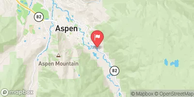
The course features several class III and class IV rapids, including the infamous Slaughterhouse Falls. The best time to float this section of water is typically from May to July when water flows range from 1,000 to 3,000 CFS. Rafters should be prepared for steep drops, strong currents, and submerged rocks. This is not a suitable route for beginners or inexperienced paddlers.
°F
°F
mph
Wind
%
Humidity
15-Day Weather Outlook
River Run Details
| Last Updated | 2023-06-13 |
| River Levels | 401 cfs (5.3 ft) |
| Percent of Normal | 97% |
| Optimal Range | 500-2000 cfs |
| Status | Too Low |
| Class Level | V- |
| Elevation | 6,479 ft |
| Run Length | 1.0 Mi |
| Streamflow Discharge | 178 cfs |
| Gauge Height | 4.7 ft |
| Reporting Streamgage | USGS 09081000 |
5-Day Hourly Forecast Detail
Nearby Streamflow Levels
Area Campgrounds
| Location | Reservations | Toilets |
|---|---|---|
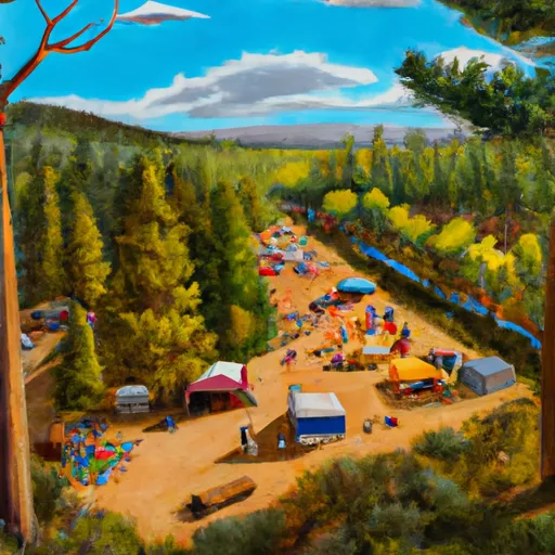 Oh-Be-Joyful Campground
|
||
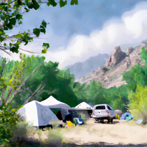 Gothic Campground - Gunnison RD
|
||
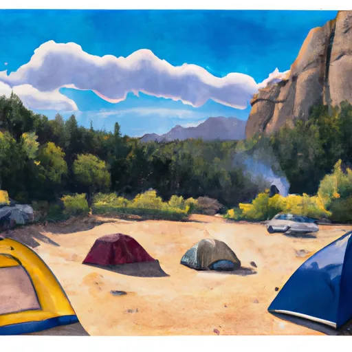 Gothic Campground
|
||
 Gothic
|
||
 Lake Irwin Campground - Gunnison RD
|
||
 Lake Irwin
|


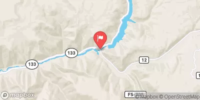
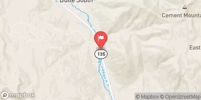
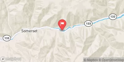
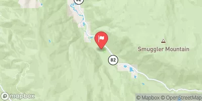
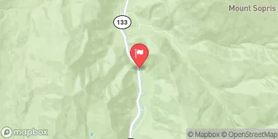
 Waterfall to Confluence
 Oh Be Joyful
 Crystal Mill Falls
 Maroon Bells/Snowmass Wilderness Boundary To Confluence With South Fork
 North Fork--Headwaters To Maroon Bells/Snowmass Wilderness Boundary
 South Fork--Headwaters To Beaver Lake
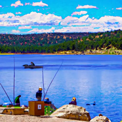 Lake Irwin
 Meridian Lake
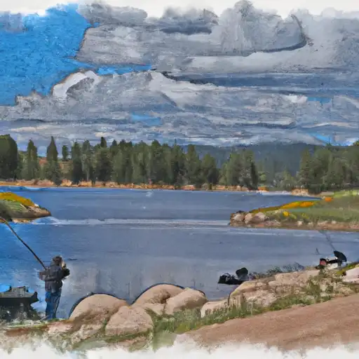 Beaver Lake SWA (Marble)