Begins Below The Tailrace Of The Lower Collinsville Dam To The Route 187 Bridge Paddle Report
Last Updated: 2026-02-07
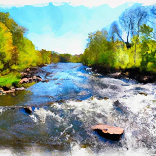
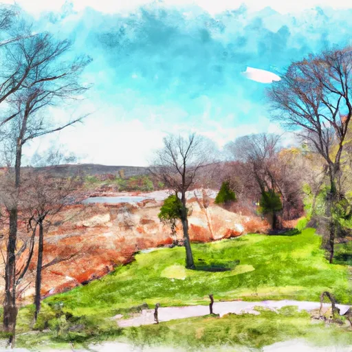
The Whitewater River Run in Connecticut is a popular white water rafting destination that begins below the tailrace of the Lower Collinsville Dam and extends downstream to the Route 187 Bridge.
Summary
The ideal streamflow range for this run is between 500-1000 cubic feet per second (cfs), with the best time to go in late spring when the snowmelt and rainfall cause the highest water levels.
The segment mileage of the Whitewater River Run is about 3.5 miles, with a class III-IV rating. The river features several rapids and obstacles, including the Frog Hollow, The Steps, The Maze, and Satan's Kingdom. These rapids offer a thrill to experienced rafters, but can be challenging for beginners.
Specific regulations to the area include wearing proper safety gear, including a helmet, and a life jacket. Additionally, a permit is required to access the river and park at designated areas. It is also important to follow Leave No Trace principles and respect the natural environment.
Overall, the Whitewater River Run offers an exciting and challenging white water rafting experience in Connecticut, with its ideal streamflow range, class rating, segment mileage, specific river rapids/obstacles, and regulations. It is important to plan and prepare accordingly to ensure a safe and enjoyable trip.
°F
°F
mph
Wind
%
Humidity
15-Day Weather Outlook
River Run Details
| Last Updated | 2026-02-07 |
| River Levels | 4 cfs (2.28 ft) |
| Percent of Normal | 29% |
| Status | |
| Class Level | iii-iv |
| Elevation | ft |
| Run Length | 28.0 Mi |
| Streamflow Discharge | cfs |
| Gauge Height | ft |
| Reporting Streamgage | USGS 01188000 |
5-Day Hourly Forecast Detail
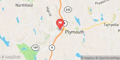
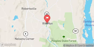
Nearby Streamflow Levels
Area Campgrounds
River Runs
-
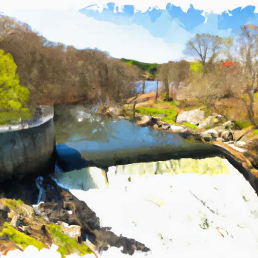 Begins Below The Tailrace Of The Lower Collinsville Dam To The Route 187 Bridge
-
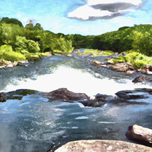 The Confluence With The Nepaug River To A Point 0.2 Miles Below The Lower Collinsville Dam Tailrace
-
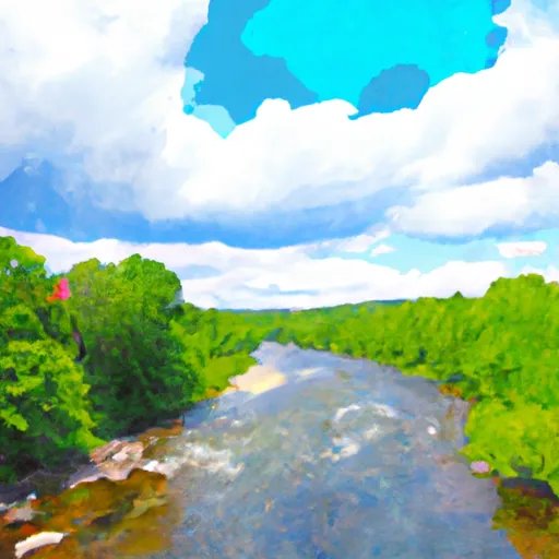 New Hartford/Canton Town Line To The Confluence With The Nepaug River
-
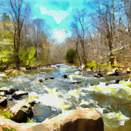 The Hartland Headwaters To The Confluence With The Salmon Brook Main Stem
-
 The Confluence Of The East And West Branches To The Confluence With The Farmington River In East Granby



 DEEP campsite
 Camp Sequassen
 Camp Workcoeman
 James Stocking Youth Group Camping Area
 Haws Memorial - American Legion State Forest
 Roaring Brook Camp Area
 Farmington River Trail Collinsville
 Recreation Field (symonds Avenue)
 Mills Pond Recreation Area
 Nepaug State Forest
 Browns Corner Recreation Area
 Horseguard State Park