2026-02-24T07:00:00-05:00
* WHAT...Heavy snow expected. Total snow accumulations between 12 and 18 inches. Winds gusting as high as 50 mph. * WHERE...Hartford CT, Tolland CT, and Windham CT Counties. * WHEN...From 4 PM Sunday to 7 AM EST Tuesday. * IMPACTS...Travel could be very difficult to impossible. The hazardous conditions will impact the Monday morning and evening commutes. Gusty winds could bring down tree branches.
Summary
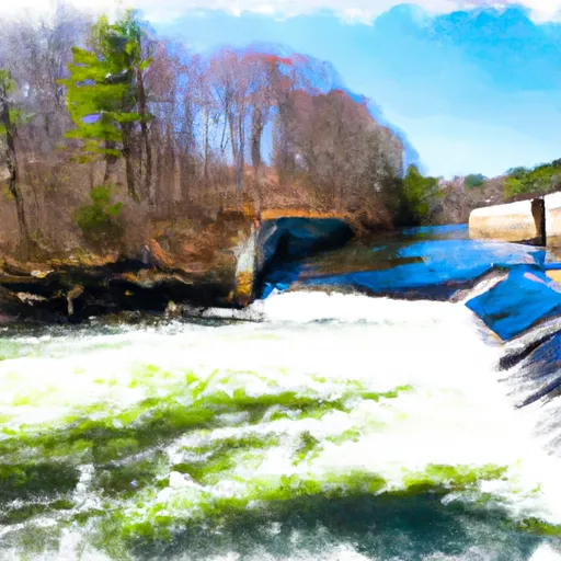
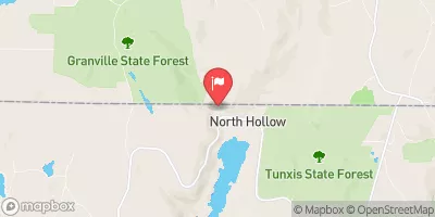
The ideal streamflow range for this river is between 400-800 cubic feet per second (cfs), allowing for a thrilling ride through the various class II-III rapids. The segment mileage of this run is approximately 6 miles, starting at the Hartland Headwaters and ending at the confluence with the Salmon Brook Main Stem.
The river features several notable rapids, including "Tin Can Alley," "The Flume," and "The Pop-up." Along with these rapids, there are also various obstacles such as strainers and low-hanging branches that require skilled navigation.
To ensure safety for all visitors, specific regulations have been put in place. Life jackets are required for all individuals, and children under the age of 12 must wear a life jacket at all times. Additionally, alcohol and drugs are strictly prohibited on the river.
Overall, the Whitewater River run is an exciting and challenging experience for those seeking an adrenaline rush on the water. It is important to be aware of the regulations and to only attempt this run with proper training and equipment.
°F
°F
mph
Wind
%
Humidity
15-Day Weather Outlook
River Run Details
| Last Updated | 2026-02-07 |
| River Levels | 63 cfs (3.4 ft) |
| Percent of Normal | 46% |
| Status | |
| Class Level | ii-iii |
| Elevation | ft |
| Run Length | 12.0 Mi |
| Streamflow Discharge | cfs |
| Gauge Height | ft |
| Reporting Streamgage | USGS 01186000 |
5-Day Hourly Forecast Detail
Nearby Streamflow Levels
Area Campgrounds
River Runs
-
 The Hartland Headwaters To The Confluence With The Salmon Brook Main Stem
-
 The Massachusetts-Connecticut State Line In Hartland To The Confluence With The Salmon Brook Main Stem
-
 The Confluence Of The East And West Branches To The Confluence With The Farmington River In East Granby
-
 New Hartford/Canton Town Line To The Confluence With The Nepaug River
-
 The Confluence With The Nepaug River To A Point 0.2 Miles Below The Lower Collinsville Dam Tailrace
-
 Begins Below The Tailrace Of The Rainbow Dam To The Confluence With The Connecticut River


 Roaring Brook Camp Area
 James Stocking Youth Group Camping Area
 Haws Memorial - American Legion State Forest
 Granville State Forest
 White Pines Campsites
 Camp Workcoeman
 Howells Pond
 Peoples State Forest
 American Legion State Forest
 Algonquin State Forest
 Simsbury Farms Recreation Complex
 Granbrook Park