New Hartford/Canton Town Line To The Confluence With The Nepaug River Paddle Report
Last Updated: 2026-02-07
Get the latest Paddle Report, Streamflow Levels, and Weather Forecast for New Hartford/Canton Town Line To The Confluence With The Nepaug River in Connecticut. Connecticut Streamflow Levels and Weather Forecast
Summary
°F
°F
mph
Wind
%
Humidity
15-Day Weather Outlook
River Run Details
| Last Updated | 2026-02-07 |
| River Levels | 4 cfs (2.28 ft) |
| Percent of Normal | 29% |
| Status | |
| Class Level | None |
| Elevation | ft |
| Run Length | 1.0 Mi |
| Streamflow Discharge | cfs |
| Gauge Height | ft |
| Reporting Streamgage | USGS 01188000 |
5-Day Hourly Forecast Detail
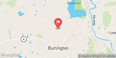
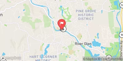
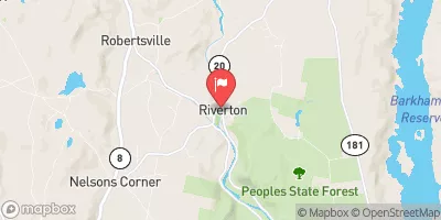
Nearby Streamflow Levels
Area Campgrounds
River Runs
-
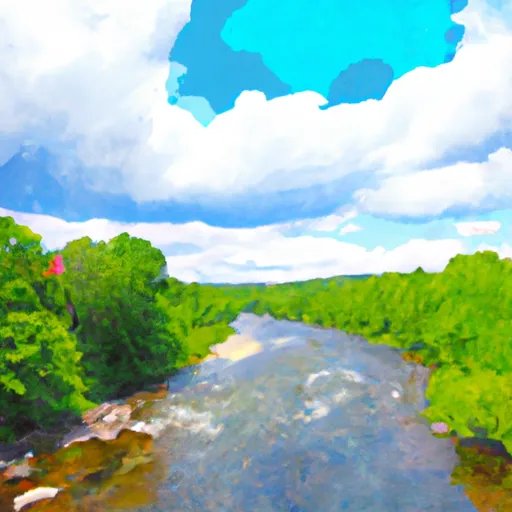 New Hartford/Canton Town Line To The Confluence With The Nepaug River
-
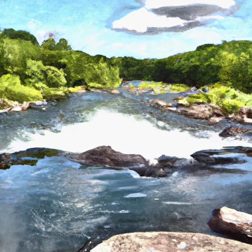 The Confluence With The Nepaug River To A Point 0.2 Miles Below The Lower Collinsville Dam Tailrace
-
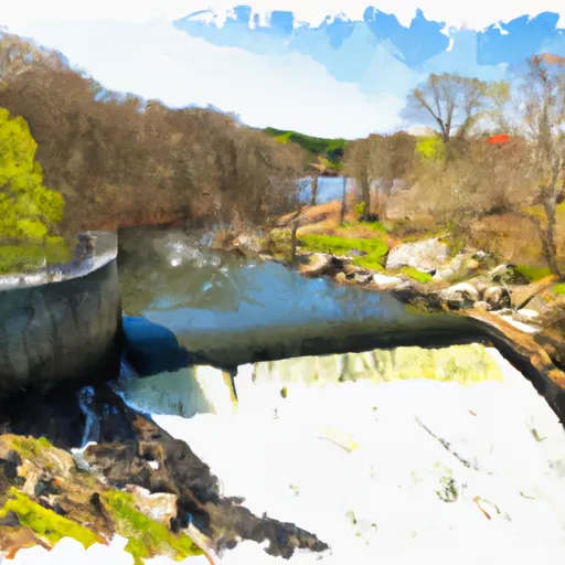 Begins Below The Tailrace Of The Lower Collinsville Dam To The Route 187 Bridge
-
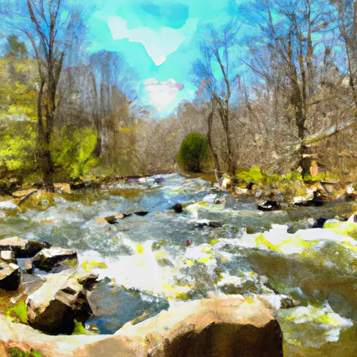 The Hartland Headwaters To The Confluence With The Salmon Brook Main Stem
-
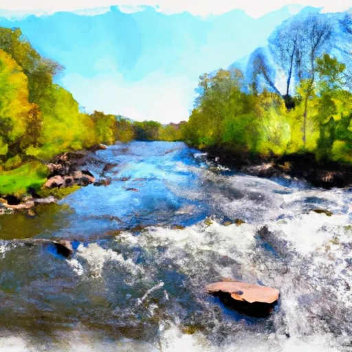 The Confluence Of The East And West Branches To The Confluence With The Farmington River In East Granby



 DEEP campsite
 Camp Workcoeman
 Camp Sequassen
 James Stocking Youth Group Camping Area
 Haws Memorial - American Legion State Forest
 Roaring Brook Camp Area
 Farmington River Trail Collinsville
 Mills Pond Recreation Area
 Nepaug State Forest
 Browns Corner Recreation Area
 Found Land Park
 Town Open Space (onion Mountain)