The Confluence With The Nepaug River To A Point 0.2 Miles Below The Lower Collinsville Dam Tailrace Paddle Report
Last Updated: 2026-02-07
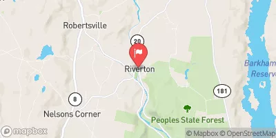
The Whitewater River Run from the Confluence with the Nepaug River to a Point 0.2 Miles Below the Lower Collinsville Dam Tailrace spans 3.5 miles and has a class III-IV rating.
Summary
The ideal streamflow range for this run is between 300-800 cfs. The run includes several challenging rapids, including The Slot, The Waterfall, The Ledges, and The S-Bend. Many of these rapids require advanced paddling skills, and the whitewater run is not recommended for inexperienced paddlers.
The area is regulated by the Connecticut Department of Energy and Environmental Protection, which requires boaters to wear personal flotation devices and carry safety equipment such as a whistle and throw rope. There are also restrictions on when kayaking and canoeing are allowed, with the season running from April 1 to October 31. The Whitewater River Run is a popular destination for kayakers and rafters, drawing visitors from across the region.
°F
°F
mph
Wind
%
Humidity
15-Day Weather Outlook
River Run Details
| Last Updated | 2026-02-07 |
| River Levels | 4 cfs (2.28 ft) |
| Percent of Normal | 29% |
| Status | |
| Class Level | iii-iv |
| Elevation | ft |
| Run Length | 3.0 Mi |
| Streamflow Discharge | cfs |
| Gauge Height | ft |
| Reporting Streamgage | USGS 01188000 |
5-Day Hourly Forecast Detail
Nearby Streamflow Levels
Area Campgrounds
River Runs
-
 The Confluence With The Nepaug River To A Point 0.2 Miles Below The Lower Collinsville Dam Tailrace
-
 New Hartford/Canton Town Line To The Confluence With The Nepaug River
-
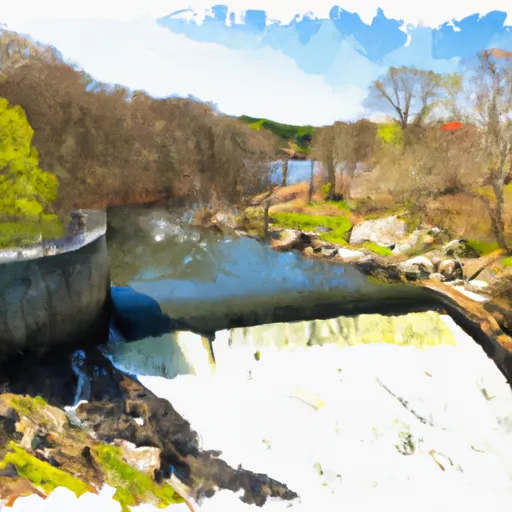 Begins Below The Tailrace Of The Lower Collinsville Dam To The Route 187 Bridge
-
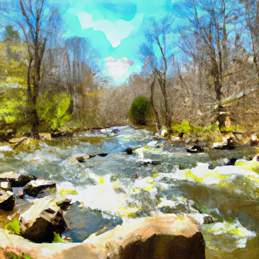 The Hartland Headwaters To The Confluence With The Salmon Brook Main Stem
-
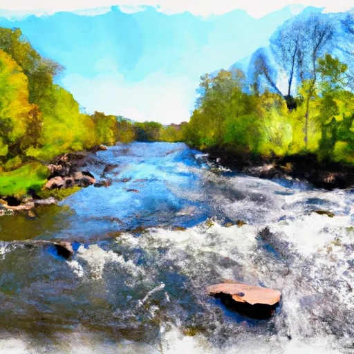 The Confluence Of The East And West Branches To The Confluence With The Farmington River In East Granby



 DEEP campsite
 Camp Sequassen
 Camp Workcoeman
 James Stocking Youth Group Camping Area
 Haws Memorial - American Legion State Forest
 Roaring Brook Camp Area
 Farmington River Trail Collinsville
 Mills Pond Recreation Area
 Nepaug State Forest
 Found Land Park
 Browns Corner Recreation Area
 Town Open Space (onion Mountain)