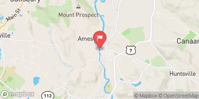
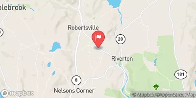
Summary
The ideal streamflow range for this section of the river is between 200 and 500 cubic feet per second (cfs), with the best times to paddle being in the spring and early summer months. The segment mileage is approximately 8.4 miles, and the class rating ranges from II to III+.
There are several notable rapids and obstacles along the route, including the "Roaring Brook Falls" and "Hatch Brook Falls" which are both class III rapids. Other challenging sections include "Twisted Sister" and "No Name Falls". Paddlers should also be aware of several river-wide strainers, especially in high water conditions.
In terms of regulations, paddlers should be aware of the Connecticut River Paddlers' Trail which provides access points and guidelines for responsible use of the river. The trail is maintained by the Connecticut River Conservancy and includes regulations on camping, waste disposal, and respecting private property.
Overall, the Whitewater River Run is a challenging and exciting section of the river that requires skill and experience. It is important for paddlers to be aware of the specific regulations and obstacles of the area to ensure a safe and enjoyable experience.
°F
°F
mph
Wind
%
Humidity
15-Day Weather Outlook
River Run Details
| Last Updated | 2026-02-07 |
| River Levels | 328 cfs (2.24 ft) |
| Percent of Normal | 48% |
| Status | |
| Class Level | iii |
| Elevation | ft |
| Run Length | 20.0 Mi |
| Streamflow Discharge | cfs |
| Gauge Height | ft |
| Reporting Streamgage | USGS 01199000 |


 Belter's Campsites
 Sharon Mountain Campsite
 Ball Brook Group Camping Area
 Rudd Pond - Taconic State Park
 Sage's Ravine Campground
 Laurel Ridge Campsite
 Twin Lakes
 Falls Mountain Road In Canaan, Connecticut To Kent Bridge
 The Massachusetts-Connecticut Border To Falls Mountain Road In Canaan, Connecticut
 Lawrence Field
 Eddy Field
 Mount Riga State Park
 Dennis Hill State Park
 Haystack Mountain State Park