Segment A--Mouth Of Spring On Ocala Nf To Alexander Springs Wilderness Boundary River Run
Community Reviews
Been here? Share the conditions.
Reviews, ratings & photos are added in the free Snoflo iOS app — rate a spot, tag the conditions, and your visit is verified by location. Add or manage your reviews from the app.
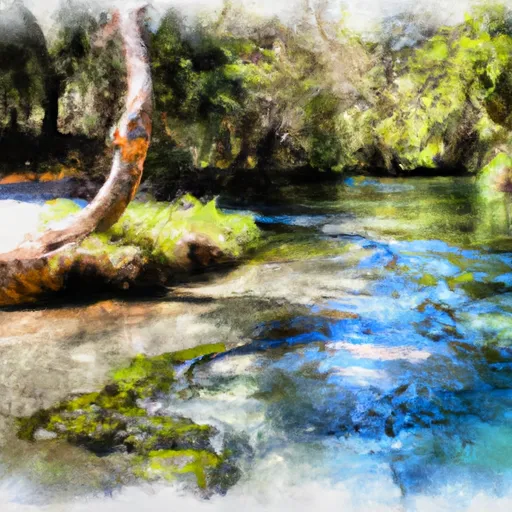
Segment A--Mouth Of Spring On Ocala Nf To Alexander Springs Wilderness Boundary
One of the main rapids in this segment is the Little Alexander Rapid, which is a Class III rapid that requires careful maneuvering. There are also some smaller rapids and obstacles throughout the run, such as rocks and trees in the water.
It is important to note that this section of the Whitewater River is located within the Ocala National Forest, and there are specific regulations in place to protect the natural environment. Visitors are required to obtain a permit before paddling on the river, and there are restrictions on camping and fires in the area.
Overall, the Whitewater River Run Segment A is a challenging and exciting run for intermediate paddlers. However, visitors should be aware of the regulations in place and take steps to protect the natural environment while enjoying the river.
Plan your run down to the hour
Same weather feed Snoflo's iOS app uses -- updated continuously from NOAA / yr.no. Watch the precipitation column on the meteogram; rain ahead of a run typically lifts flows 12-48 hours later depending on the basin.
Next 5 days, hour by hour
Temperature line with weather symbols on top, snow + rain accumulation as columns, humidity as a dotted line.
5-day forecast table
Every 3 hours, broken out across temperature, snow, rain, humidity, and wind. Each cell is colour-coded relative to the column min/max.
| Time | Condition | Temp (°F) | Snow (in) | Rain (in) | Humidity (%) | Wind (mps) | Wind dir |
|---|---|---|---|---|---|---|---|
| Loading detailed forecast… | |||||||
15-day temperature & precipitation
Daily temperatures, snow, and rain projected over the next two weeks -- the upstream story that drives next week's flows.
Regional streamflow levels
USGS streamgauges around Segment A--Mouth Of Spring On Ocala Nf To Alexander Springs Wilderness Boundary -- useful for spotting upstream pulses and gauging which tributary is contributing what.
| Streamgauge | Discharge | View |
|---|---|---|
| St. Johns River Nr Deland | 1,180 cfs | → |
| St. Johns River At Astor | 3,180 cfs | → |
| Blackwater Creek Near Cassia | 3 cfs | → |
| Wekiva River Nr Sanford | 189 cfs | → |
| St. Johns River Nr Sanford | 754 cfs | → |
| Wolf Branch At Fcrr Near Mount Dora | · | → |
Plan a longer trip
The closest boat launches, other paddle runs, and campgrounds so a day on the water can grow into a full weekend.
Boat launches
- Alexander Springs Creek Forest Road 552 Boat Launch
- Ocala National Forest - Cowpen Pond Undeveloped Access Site
- Powell's Campground
- Astor Landing Campground And Boat Ramp
- St. Johns Marina
- Ed Stone Park
Other river runs
- Segment B--Alexander Springs Wilderness Boundary To Confluence With St. Johns River
- Segment B--Bridge On Sh 19 To Confluence With Lake George
- Segment A--Mouth Of Spring On Ocala Nf (At Juniper Springs Wilderness) To Bridge On Sh 19 (At Wilderness Boundary)
- The First Powerline Crossing The Ichetuckee River To The Confluence With The Santa Fe River, Down The Santa Fe River To The Suwannee River
Campgrounds
- Alexander Springs
- Alexander Springs Campground
- Clearwater Lake
- Clearwater Lake Campground
- Lamott Family Staff Camp
- Billy Bowlegs
Fishing spots
Whitewater safety
- Check the flow before you run
- Use the linked-gauge card and Regional Flow panel above. Class ratings change with flow -- a Class III at low water can become Class IV+ at high water.
- Know your skill ceiling
- Pick runs comfortably below your ceiling. Cold-water and big-water runs raise the consequences of any mistake.
- Wear the right gear
- Helmet, PFD, drysuit / wetsuit when water is below 60°F. Throw bag, knife, and whistle on your person, not in the boat.
- Scout, set safety, and run with a team
- Scout new rapids on foot, set safety with throw bags above the consequence pool, and run with at least one other competent paddler.
- Respect the river
- Strainers, undercuts, low-head dams, and wood can kill at any class rating. When in doubt, portage.
Set push alerts in the Snoflo app
Save Segment A--Mouth Of Spring On Ocala Nf To Alexander Springs Wilderness Boundary as a favorite, set a discharge threshold (e.g. "alert me when flow hits 600 cfs"), and the iOS app pushes the moment the linked gauge crosses.
About Segment A--Mouth Of Spring On Ocala Nf To Alexander Springs Wilderness Boundary
What's the optimal flow for Segment A--Mouth Of Spring On Ocala Nf To Alexander Springs Wilderness Boundary?
The optimal flow depends on the section and the craft. Check the Run Details panel for the linked gauge and current status.
How fresh is the cfs reading on this page?
The linked USGS streamgauge reports continuously (every 15 minutes); Snoflo refreshes throughout the day. Hover the streamflow sparkline to read individual datapoints.
What's the whitewater class?
See the Run Details panel for the class rating Snoflo tracks for this run. Class ratings change with flow -- a Class III at low water can become Class IV in high water.
Where do I put in / take out?
Tap Directions in the hero above to open driving directions to the put-in. For shuttle planning, check the Nearby Boat Launches panel and the river run operator's site.
Can I get alerts when flows hit the optimal range?
Yes -- alerts are managed in the Snoflo iOS app. Favorite this run, set a discharge threshold, and you'll get a push the moment the gauge crosses.
Other runs near here
Snoflo-tracked paddle runs within driving distance of Segment A--Mouth Of Spring On Ocala Nf To Alexander Springs Wilderness Boundary.