Summary
The ideal streamflow range for this river is between 200 and 600 cubic feet per second (cfs). The river is rated as Class II-IV, with the most challenging rapids found in the upper section of the river. The segment mileage from the Little River Springs at river mile 81 to the mouth of the river at the Gulf of Mexico is approximately 105 miles.
One of the most notable rapids on the Little River is the "Suwani Rapid," which is a Class IV rapid located on the upper section of the river. Other obstacles include downed trees, narrow passages, and boulder gardens. Paddlers should be prepared for tight turns and unpredictable currents.
There are several regulations that paddlers must be aware of when planning to run the Little River. The river is located entirely within the Lower Suwannee National Wildlife Refuge, which means that there are restrictions on camping, fires, and other activities. Additionally, paddlers must obtain a permit from the U.S. Fish and Wildlife Service before entering the river.
Overall, the Little River in Florida offers an exciting whitewater river run for experienced paddlers. With challenging rapids, beautiful scenery, and unique wildlife viewing opportunities, this river is a must-visit for anyone looking for an adventure on the water.
°F
°F
mph
Wind
%
Humidity
15-Day Weather Outlook
River Run Details
| Last Updated | 2026-02-07 |
| River Levels | 2880 cfs (4.92 ft) |
| Percent of Normal | 35% |
| Status | |
| Class Level | ii-iv |
| Elevation | ft |
| Run Length | 80.0 Mi |
| Streamflow Discharge | cfs |
| Gauge Height | ft |
| Reporting Streamgage | USGS 02320500 |
5-Day Hourly Forecast Detail
Nearby Streamflow Levels
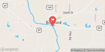 Suwannee River At Branford
|
2510cfs |
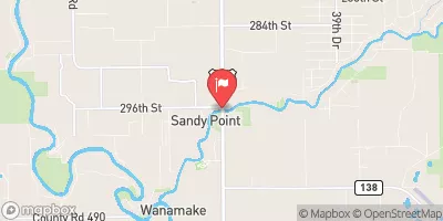 Santa Fe River Nr Hildreth Fla
|
1250cfs |
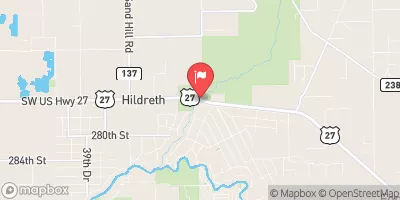 Ichetucknee R @ Hwy27 Nr Hildreth
|
254cfs |
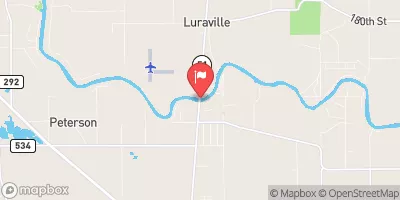 Suwannee River At Luraville
|
1520cfs |
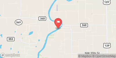 Suwannee River Near Bell
|
2900cfs |
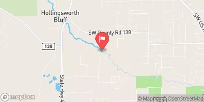 Santa Fe River Near Fort White
|
679cfs |


 The Little River Springs At River Mile 81 To The Mouth Of The River At The Gulf Of Mexico
 The First Powerline Crossing The Ichetuckee River To The Confluence With The Santa Fe River, Down The Santa Fe River To The Suwannee River
 Troy Springs
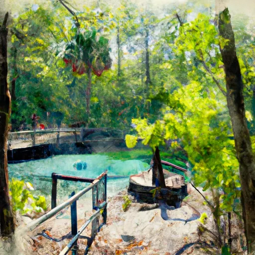 Ichetucknee Springs State Park-South Entrance
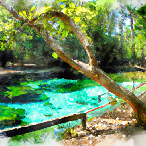 State Park Ichetucknee Springs
 Lafayette Forest Wildlife and Environmental Area