Summary
The ideal streamflow range for this segment of the river is between 400 and 800 cubic feet per second (cfs). The class rating of this section is considered to be Class II and III, which means that it is suitable for intermediate level paddlers. The segment mileage is approximately 16.3 miles, which takes around 4 to 6 hours to complete.
Some of the specific rapids and obstacles to look out for on this run include "Bath Tub," "The Slide," and "The Ledge." The "Bath Tub" is a rapid that creates a large hole at the bottom, which can be difficult to navigate. "The Slide" is a long, steep rapid that requires precise maneuvering. "The Ledge" is a rocky outcropping that creates a significant drop and requires careful attention.
There are specific regulations in place for this area, including a requirement for all paddlers to wear personal flotation devices (PFDs) at all times while on the water. Additionally, there are restrictions on the use of alcohol and motorized watercraft in the area.
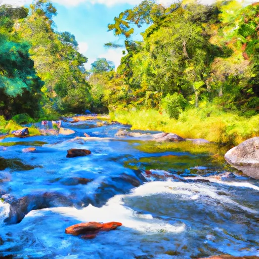
Overall, the Whitewater River Run at the Confluence of the North Prong and Middle Prong to Trader's Hill offers a thrilling whitewater experience for intermediate level paddlers. It is important to follow all regulations and safety guidelines to ensure a safe and enjoyable trip.
°F
°F
mph
Wind
%
Humidity
15-Day Weather Outlook
River Run Details
| Last Updated | 2026-02-07 |
| River Levels | 96 cfs (2.69 ft) |
| Percent of Normal | 6% |
| Status | |
| Class Level | ii |
| Elevation | ft |
| Run Length | 65.0 Mi |
| Streamflow Discharge | cfs |
| Gauge Height | ft |
| Reporting Streamgage | USGS 02231000 |




 The Confluence Of The North Prong And Middle Prong To Trader'S Hill