Summary
The ideal streamflow range for this river is around 500-1000 cfs. The river is rated as a Class II-III, with some Class IV rapids during high water. The segment mileage of this run is approximately 8 miles, and it runs from near the Georgia state line to the confluence with Little River.
The most notable rapids on this run include Hurricane Shoals, Entrance Rapid, and S-Turn. Hurricane Shoals is a Class III rapid that has a series of waves and rocks that require precise navigation. Entrance Rapid is a Class IV rapid that requires a high level of skill and experience to navigate safely. S-Turn is a Class III rapid that is known for its challenging turns and rocks.
Specific regulations that apply to this area include a requirement to wear a personal flotation device (PFD) at all times while on the river. Additionally, the use of alcohol or drugs while on the river is strictly prohibited. The Georgia Department of Natural Resources manages the Whitewater River Run and enforces these regulations to ensure the safety of all visitors.
Overall, the Whitewater River Run is a challenging and exciting destination for experienced kayakers and rafters. It is important to check the streamflow levels and weather conditions before attempting this run, as the rapids can be dangerous during high water.
°F
°F
mph
Wind
%
Humidity
15-Day Weather Outlook
River Run Details
| Last Updated | 2026-02-16 |
| River Levels | 124 cfs (2.37 ft) |
| Percent of Normal | 27% |
| Status | |
| Class Level | ii-iii |
| Elevation | ft |
| Run Length | 8.0 Mi |
| Streamflow Discharge | cfs |
| Gauge Height | ft |
| Reporting Streamgage | USGS 02398000 |
5-Day Hourly Forecast Detail
Nearby Streamflow Levels
Area Campgrounds
| Location | Reservations | Toilets |
|---|---|---|
 Camp Skyline Ranch
|
||
 De Soto State Park
|
||
 James H. Floyd State Park Campground
|
||
 James H Sloppy Floyd State Park
|


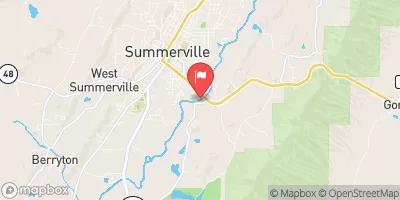
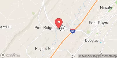
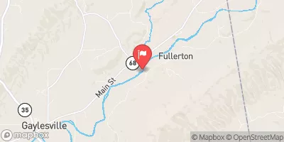
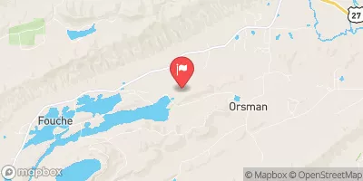
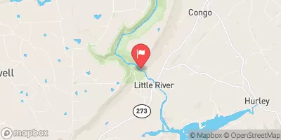
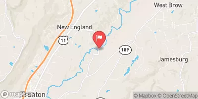
 River Miles 8 Near Ga Sate Line To Confluence With Little River
 Desoto Falls In Desoto State Park To Confluence With Little River
 Confluence With East And West Branches To Al 37 Bridge
 Al 35 Bridge To Ends One Mile Upstream From Al 273 Bridge
 Crockford-Pigeon Mountain Wildlife Management Area
 Natural Area Zahnd
 Dowdy Park
 Williams Avenue Athletic Facilities
 Alabama Walking Park