Summary
The ideal streamflow range for this river run is between 500 and 2000 cfs, with the optimal level being around 1000 cfs. The class rating for this section of the river is class III-IV, meaning it is recommended for experienced paddlers who are comfortable with moderate to difficult rapids.
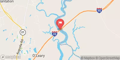
The segment mileage for this river run is approximately 7 miles, starting at the I-95 Bridge Crossing and ending at the mouth of the river. Along the way, paddlers will encounter several noteworthy rapids, such as Eye of the Needle, S-turn, and the infamous Meatgrinder. These rapids are known for their steep drops and technical features, providing a thrilling challenge for experienced paddlers.
Specific regulations for the Whitewater River include a minimum age requirement of 12 years old for kayakers and 8 years old for rafters. Additionally, all paddlers are required to wear a personal flotation device (PFD) and helmets, and it is recommended to have a trained guide for those who are less experienced. It is also important to note that the river may be closed during times of high water or other hazardous conditions.
Overall, the Whitewater River run in Georgia offers an exciting and challenging adventure for experienced paddlers. It is important to follow all regulations and safety guidelines to ensure a safe and enjoyable trip down the river.
°F
°F
mph
Wind
%
Humidity
15-Day Weather Outlook
River Run Details
| Last Updated | 2026-02-07 |
| River Levels | 43300 cfs (2.16 ft) |
| Percent of Normal | 79% |
| Status | |
| Class Level | iii-iv |
| Elevation | ft |
| Run Length | 35.0 Mi |
| Streamflow Discharge | cfs |
| Gauge Height | ft |
| Reporting Streamgage | USGS 02198920 |
5-Day Hourly Forecast Detail
Nearby Streamflow Levels
 Savannah River At Ga 25
|
14300cfs |
 Ogeechee River Near Eden
|
1040cfs |
 Black Creek Near Blitchton
|
15cfs |
 Peacock Creek At Mcintosh
|
4cfs |
 Savannah River Near Port Wentworth
|
16700cfs |
 Abercorn Cr (Water Intake) Nr Savannah
|
1720cfs |


 River View Drive Richmond Hill
 The I-95 Bridge Crossing To The Mouth Of The River