Summary
The ideal streamflow range for this run is between 300-1500 cfs, which provides a thrilling ride without becoming too dangerous. The segment mileage of the run is approximately 7.5 miles, stretching from the Chattahoochee Gap to the Mark Trail Wilderness Boundary.
The Whitewater River Run is rated as a Class III-IV river, which means that it has moderate to difficult rapids, waves, and obstacles. Some of the specific rapids you can encounter include Corkscrew, S-turn, and Junkyard. These rapids vary in difficulty and require skill and experience to navigate safely. There are also several obstacles such as rocks and fallen logs that add to the challenge of this run.
There are specific regulations that must be followed when navigating the Whitewater River Run. The use of personal flotation devices (PFDs) is mandatory for all individuals on the river. Additionally, camping is only allowed in designated areas, and fires are not allowed. It is also important to note that this run may be closed during periods of high water or when there is a fire ban in effect.
In conclusion, the Whitewater River Run near Chattahoochee Gap to Mark Trail Wilderness Boundary in Georgia is a thrilling and challenging course that requires skill and experience to navigate safely. The ideal streamflow range is between 300-1500 cfs, and the run is rated as a Class III-IV river with specific rapids and obstacles to navigate. There are also specific regulations to be followed, such as the mandatory use of PFDs and limitations on camping and fires.
°F
°F
mph
Wind
%
Humidity
15-Day Weather Outlook
River Run Details
| Last Updated | 2026-02-07 |
| River Levels | 98 cfs (0.84 ft) |
| Percent of Normal | 41% |
| Status | |
| Class Level | iii-iv |
| Elevation | ft |
| Streamflow Discharge | cfs |
| Gauge Height | ft |
| Reporting Streamgage | USGS 02330450 |
5-Day Hourly Forecast Detail
Nearby Streamflow Levels
 Nottely River Near Blairsville
|
123cfs |
 Chattahoochee River At Helen
|
106cfs |
 Tallulah River Near Clayton
|
131cfs |
 Chattahoochee River Near Leaf
|
291cfs |
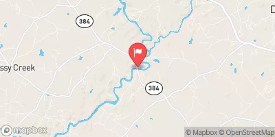 Chattahoochee River Near Cornelia
|
505cfs |
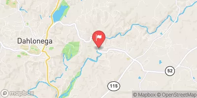 Chestatee River Near Dahlonega
|
361cfs |
Area Campgrounds
| Location | Reservations | Toilets |
|---|---|---|
 Upper Chattahoochee River
|
||
 Upper Chattahoochee River Campground
|
||
 Andrews Cove Campground
|
||
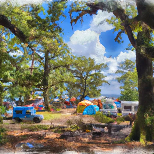 Andrews Cove Campsite
|
||
 Andrews Cove
|
||
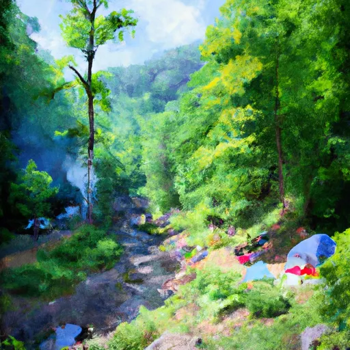 Low Gap Creek
|


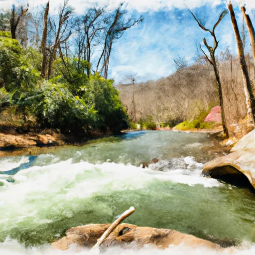 Source Near Chattahoochee Gap To Mark Trail Wilderness Boundary
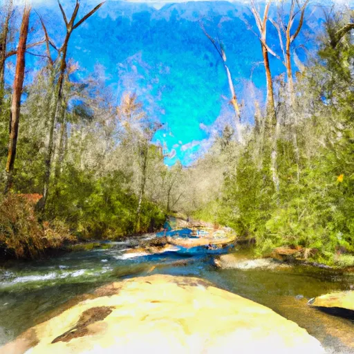 Mark Trail Wilderness Boundry To Old Turnpike Crossing Near Vandiver Branch
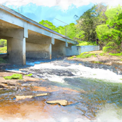 Old Turnpike Crossing To Martin Branch Bridge
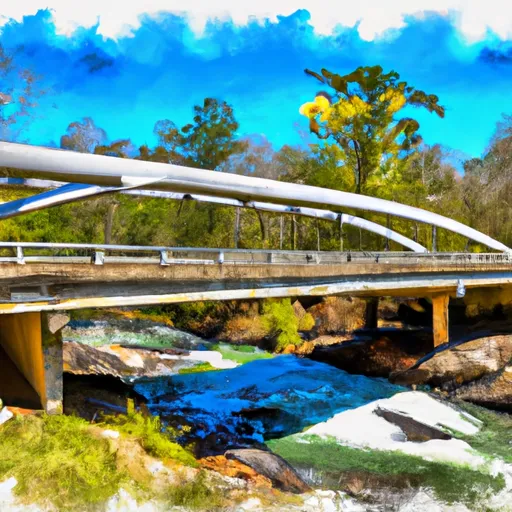 Martin Branch Bridge To Robertsontown Bridge On Ga Highway 356
 Wilderness Tray Mountain
 Wilderness Mark Trail
 State Park Unicoi
 Unicoi State Park and Lodge
 Vogel State Park