Summary
The river is known for its challenging rapids, including Maytag, Bodacious Bounce, and Shorts Rapid. There are also several river obstacles, including rocks and fallen trees. The recommended CFS for this section of water is between 1,000 and 2,500. Overall, this is a great section of water for experienced paddlers looking for a challenging and exciting adventure.
Regional Streamflow Levels
 Salmon River At White Bird Id
|
21400cfs |
 Little Salmon River At Riggins Id
|
1290cfs |
 Sf Clearwater River At Stites Id
|
1920cfs |
 Imnaha River At Imnaha
|
150cfs |
 Clear Ck At Kooskia National Fish Hatchery
|
18cfs |
 Snake River Bl Mcduff Rapids At China Gardens
|
40700cfs |
15-Day Long Term Forecast
River Run Details
| Last Updated | 2023-06-13 |
| River Levels | 527 cfs (3.43 ft) |
| Percent of Normal | 91% |
| Optimal Range | 3000-20000 cfs |
| Status | Too Low |
| Class Level | III- to IV |
| Elevation | 1,779 ft |
| Run Length | 50.0 Mi |
| Streamflow Discharge | 1290 cfs |
| Gauge Height | 4.7 ft |
| Reporting Streamgage | USGS 13316500 |
5-Day Hourly Forecast Detail
Area Campgrounds
| Location | Reservations | Toilets |
|---|---|---|
 Hammer Creek Recreation Site
|
||
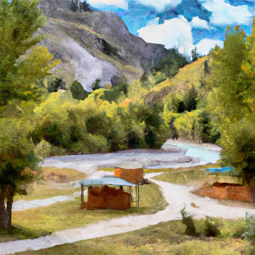 Hammer Creek
|
||
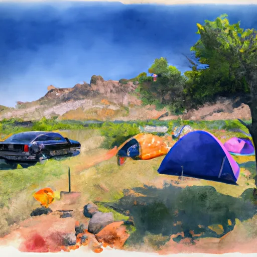 Apricot Bar Campsite
|
||
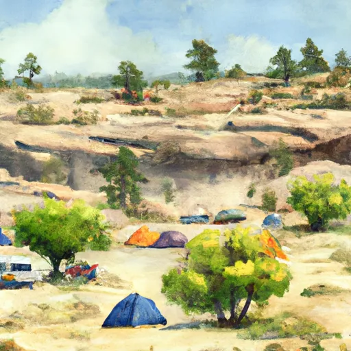 Big Rock Campsite
|
||
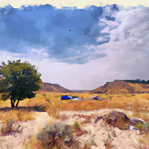 Lower Big Rock Campsite
|
||
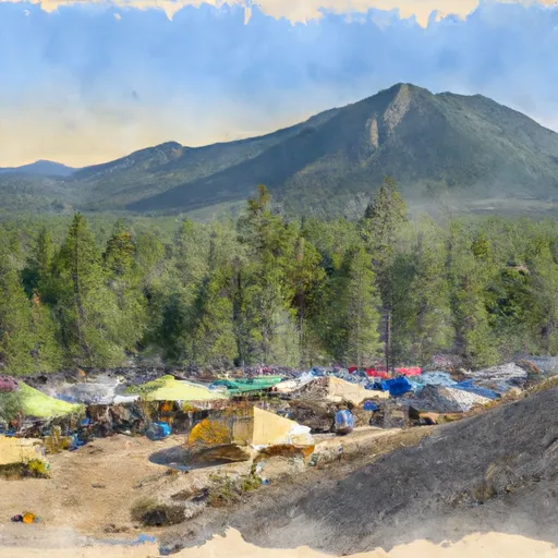 Upper Coffee Grinder Campsite
|


 Hammer Creek to Heller Bar (Lower Salmon)
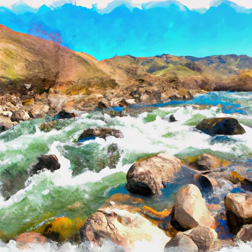 Salmon River
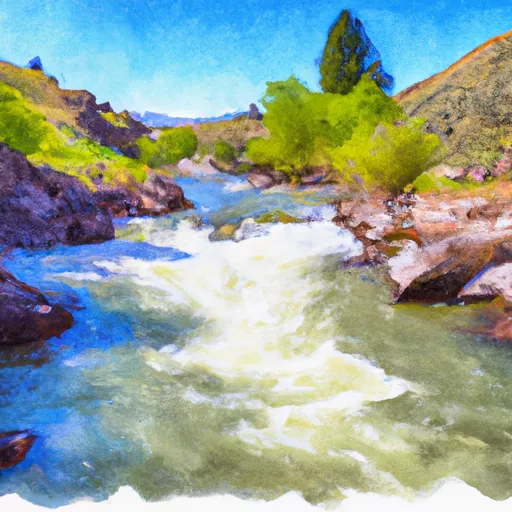 Salmon River, Sec. 22, T28N, R1E To North And South Forks Of White Bird Creek
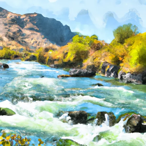 Salmon River, Sec. 36, T27N, R1E To Gospel-Hump Wilderness Boundary, Sec. 31, T27N, R4E
 Pittsburg Landing to Heller Bar
 Continue with Snoflo Premium