Summary
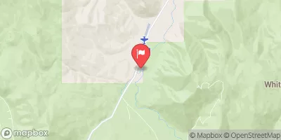
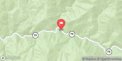
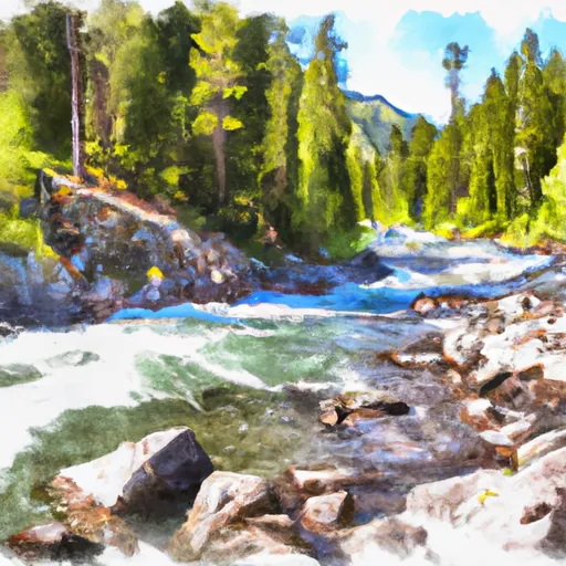
The ideal streamflow range for this section is between 500-1500 cfs. The segment is characterized by steep drops, tight and technical rapids, and continuous whitewater. The run is known for its thrilling rapids, including the infamous “Golf Course” and “The Notch.” The Golf Course is a series of three steep drops with limited scouting opportunities, while the Notch is a narrow, steep, and technical rapid with a significant drop. The segment ends at the Sawtooth National Forest Boundary, where boaters must take out.
This section of the river is considered a high-level run and is only recommended for experienced whitewater paddlers. It is essential to wear proper safety gear, including a helmet and a personal flotation device. As with any whitewater run, it is crucial to scout the rapids and familiarize oneself with the river's layout before paddling. This section of the river is also subject to regulation, and boaters must obtain a permit from the Sawtooth National Forest to paddle this stretch of the Whitewater River Run.
In conclusion, the Unnamed Creek to Sawtooth NF Boundary section of the Whitewater River Run in Idaho offers a challenging and thrilling whitewater experience for experienced paddlers. With its steep drops, tight and technical rapids, and continuous whitewater, it is a high-level run that requires proper safety gear and familiarity with the river's layout. Obtaining a permit from the Sawtooth National Forest is also necessary.
°F
°F
mph
Wind
%
Humidity
15-Day Weather Outlook
River Run Details
| Last Updated | 2026-02-07 |
| River Levels | 49 cfs (3.82 ft) |
| Percent of Normal | 159% |
| Status | |
| Class Level | iv-v |
| Elevation | ft |
| Streamflow Discharge | cfs |
| Gauge Height | ft |
| Reporting Streamgage | USGS 13297330 |


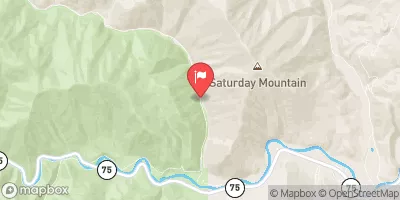
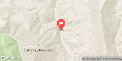
 Unnamed Creek To Sawtooth Nf Boundary
 East Fork Salmon River
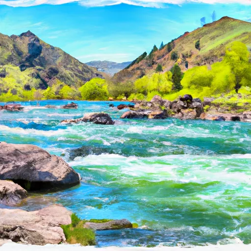 Three Cabins Creek To Confluence With East Fork Salmon River
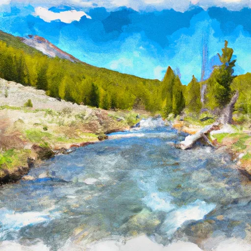 Headwaters To Sawtooth Nf Boundary
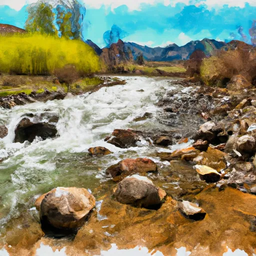 Headwaters To Confluence With Little Boulder Creek
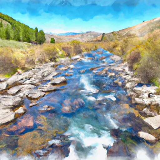 Headwaters To Confluence With East Fork Salmon River