Summary
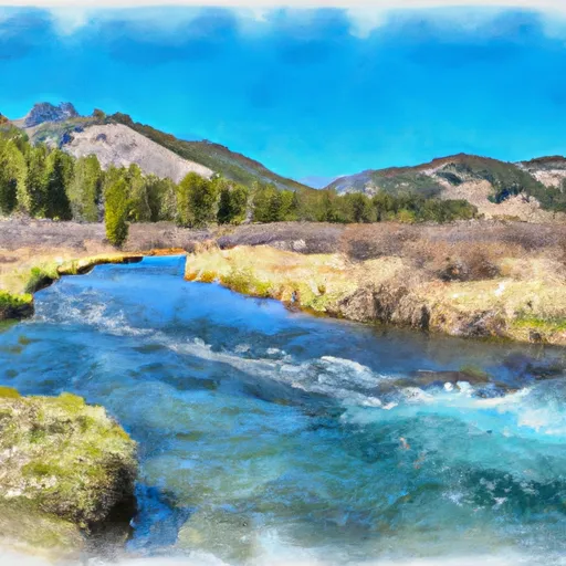
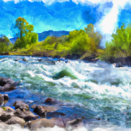
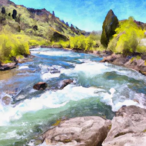
The ideal streamflow range for this run is between 800-2000 cfs. The class rating for this run is Class III-IV, with some sections of Class V rapids during high water. The total segment mileage for this run is approximately 50 miles.
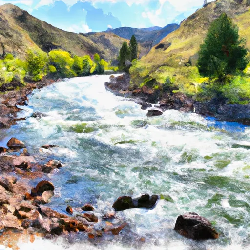
Some of the specific rapids and obstacles that can be encountered on this run include Elkhorn, Devil's Tooth, and Grandjean rapids. These rapids offer challenging drops, technical moves, and big waves, which are sure to thrill experienced rafters.
As for specific regulations, the use of personal flotation devices is mandatory for all individuals on this run. Additionally, the use of motorized boats is not allowed on this section of the river to preserve the natural beauty of the area.
In summary, the Whitewater River Run from Headwaters to Sawtooth NF Boundary in Idaho is a great destination for experienced whitewater rafters. With challenging rapids, ideal streamflow, and specific regulations, this run offers a unique adventure for those seeking an adrenaline rush on the water.
°F
°F
mph
Wind
%
Humidity
15-Day Weather Outlook
River Run Details
| Last Updated | 2026-02-07 |
| River Levels | 49 cfs (3.82 ft) |
| Percent of Normal | 159% |
| Status | |
| Class Level | iii-iv |
| Elevation | ft |
| Streamflow Discharge | cfs |
| Gauge Height | ft |
| Reporting Streamgage | USGS 13297330 |
5-Day Hourly Forecast Detail
Nearby Streamflow Levels
Area Campgrounds
| Location | Reservations | Toilets |
|---|---|---|
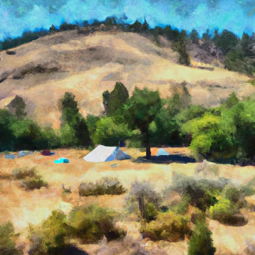 Holman Creek
|
||
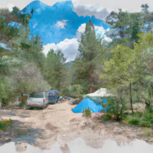 Holman Creek Campground
|
||
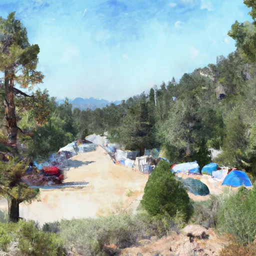 Whiskey Flats Campground
|
||
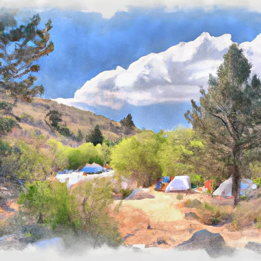 Marshall Creek Campground
|
||
 Lower Obrien
|
||
 Lower O'Brien Campground
|


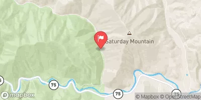
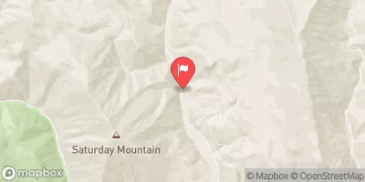
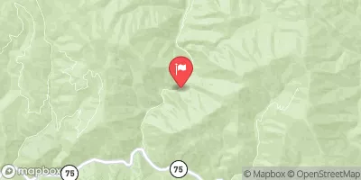
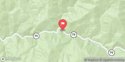
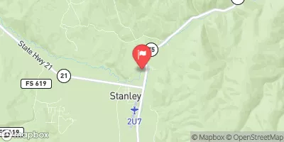
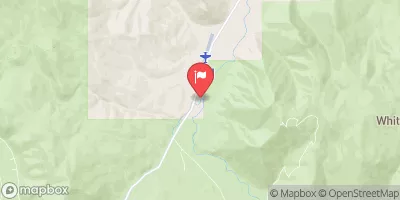
 Headwaters To Sawtooth Nf Boundary
 Salmon River
 Torreys to East Fork
 Squaw Creek
 Thompson Creek
 Headwaters To Confluence With Salmon River