Summary
The ideal streamflow range for this section is between 1500 and 3000 cfs. The class rating of this stretch is class III-IV, making it suitable for intermediate to advanced paddlers. The segment mileage of the river run is approximately 9 miles.
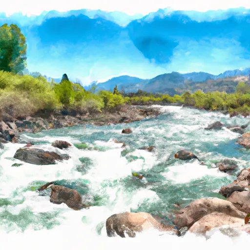
The river features several rapids and obstacles, including the infamous "Redside Rapid," which is a class IV rapid with a steep, technical drop. Other notable rapids include "Rock Garden," "V-Rapid," and "Pinball," all of which require technical maneuvering and attention to navigate safely.
Specific regulations to the area include the need for a permit to access the river, which can be obtained through the Forest Service. There are also restrictions on group size, with a maximum of 12 people allowed per group. Additionally, there are restrictions on camping and fires, with designated campsites and fire rings located along the river.
Overall, the Whitewater River run of Confluence of East and West Forks to NF Boundary offers a challenging and exciting adventure for experienced paddlers. It is important to be aware of the specific regulations and to always practice safe boating techniques to ensure a successful and enjoyable trip.
°F
°F
mph
Wind
%
Humidity
15-Day Weather Outlook
River Run Details
| Last Updated | 2026-02-07 |
| River Levels | 1710 cfs (4.43 ft) |
| Percent of Normal | 65% |
| Status | |
| Class Level | iii-iv |
| Elevation | ft |
| Streamflow Discharge | cfs |
| Gauge Height | ft |
| Reporting Streamgage | USGS 13127000 |


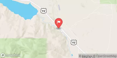
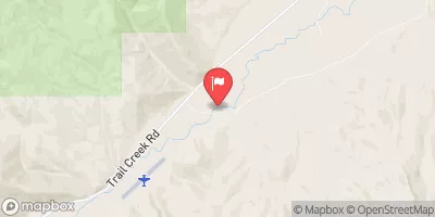
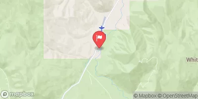
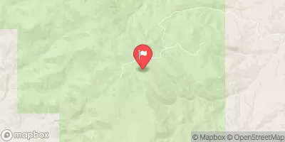
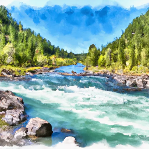 Confluence Of East And West Forks To Nf Boundary
 Pahsimeroi River
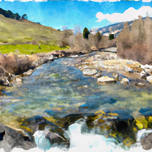 Headwaters To Confluence With West Fork
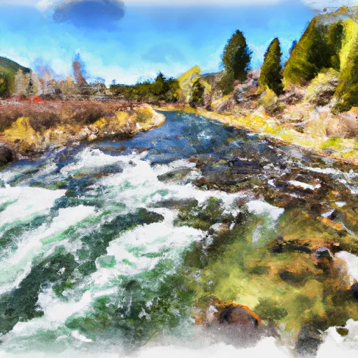 Mahogany Creek
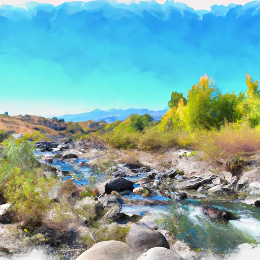 Dry Creek