2026-02-19T05:00:00-07:00
* WHAT...Snow. There is a lull in snowfall this afternoon, however an additional 5 to 12 inches is possible starting tonight and continuing into early Thursday morning. Locally higher amounts are possible in the Big Holes and along the Montana border. Winds gusting as high as 40 mph at times are possible. * WHERE...Beaverhead - Lemhi Highlands, Big Hole Mountains, Centennial Mountains - Island Park, Bear Lake Valley, Blackfoot Mountains, and Caribou Range. * WHEN...Until 5 AM MST Thursday. * IMPACTS...Travel could be very difficult to impossible. The hazardous conditions could impact the Tuesday evening and Wednesday morning commutes.
Summary
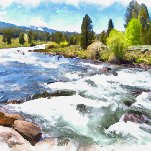
The Whitewater River run Headwaters of North and South Fork and Mainstem to Targhee NF Boundary is a thrilling and challenging rafting experience located in Idaho. The ideal streamflow range for this run is between 1,000 and 5,000 cubic feet per second (cfs). The class rating for this run varies between Class II and Class IV depending on the segment of the river. The entire run covers a distance of approximately 28 miles, which includes 6 miles of Class III rapids and 22 miles of Class II rapids.
Some of the specific river rapids and obstacles to be aware of on this run include Big Kahuna, Box Canyon Rapid, and Pine Creek Rapid. These rapids can be challenging and require experienced rafters to navigate. Additionally, there are several specific regulations to the area to ensure safety and conservation. These regulations include a permit requirement for commercial outfitters, a prohibition on camping within 0.25 miles of the river, and a requirement for all watercraft to have a personal flotation device for each person on board.
Overall, the Whitewater River run Headwaters of North and South Fork and Mainstem to Targhee NF Boundary is a thrilling rafting experience that requires experienced paddlers to safely navigate the rapids and obstacles. It is important to be aware of the ideal streamflow range, class rating, segment mileage, specific river rapids/obstacles, and specific regulations to the area before embarking on this adventure.
°F
°F
mph
Wind
%
Humidity
15-Day Weather Outlook
River Run Details
| Last Updated | 2026-02-07 |
| River Levels | 2190 cfs (7.46 ft) |
| Percent of Normal | 85% |
| Status | |
| Class Level | ii-iv |
| Elevation | ft |
| Streamflow Discharge | cfs |
| Gauge Height | ft |
| Reporting Streamgage | USGS 13046995 |


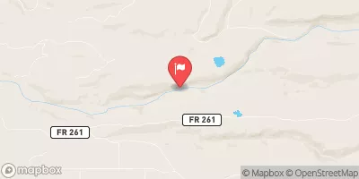
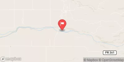
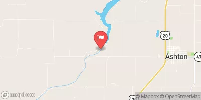
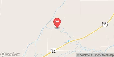
 Headwaters Of North And South Fork And Mainstem To Targhee Nf Boundary
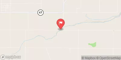
 Bitch Creek
 Yellowstone Np To Targhee Nf Boundary
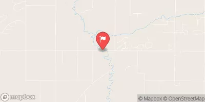
 Teton River