Summary
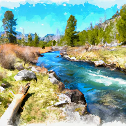
The ideal streamflow range for this segment is between 500-1500 cfs, although it can go up to 3000 cfs during peak season. The class rating for this section is Class III-IV, with some challenging rapids and obstacles that require technical skills.
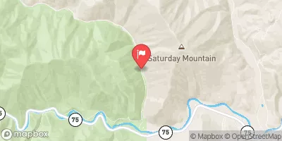
The total segment mileage for this run is around 6 miles, with the longest continuous rapid being around 1 mile. Some of the notable rapids and obstacles include "Squaw Creek," "Molly's Nipple," and "Boulder Garden." The river also features several drops, chutes, and eddies that require careful navigation.
It is important to note that this section of the Whitewater River is regulated by the Sawtooth National Forest and the Boise National Forest. Visitors must obtain a permit to access the river, and there are strict regulations in place to protect the wilderness area. Visitors are also required to follow Leave No Trace principles, pack out all trash, and respect the environment.
Overall, the Whitewater River Run from Headwaters to Inlet Pettit Lake is a challenging and rewarding experience for experienced whitewater paddlers. It offers some of the best rapids and obstacles in Idaho, and is a great way to experience the natural beauty of the state.
°F
°F
mph
Wind
%
Humidity
15-Day Weather Outlook
River Run Details
| Last Updated | 2026-01-26 |
| River Levels | 595 cfs (2.09 ft) |
| Percent of Normal | 122% |
| Status | |
| Class Level | iii-iv |
| Elevation | ft |
| Streamflow Discharge | cfs |
| Gauge Height | ft |
| Reporting Streamgage | USGS 13295000 |
5-Day Hourly Forecast Detail
Nearby Streamflow Levels
Area Campgrounds
| Location | Reservations | Toilets |
|---|---|---|
 Pettit Lake Campground
|
||
 Pettit Lake
|
||
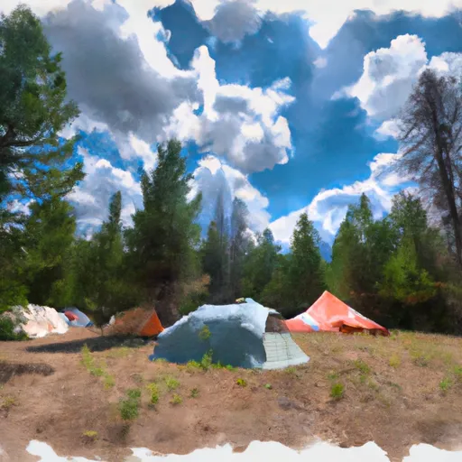 Alturas Tent Camping Area
|
||
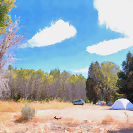 Smokey Bear (Alturas) Campground
|
||
 Smokey Bear
|
||
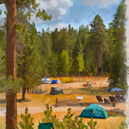 Smokey Bear Campground
|


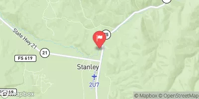
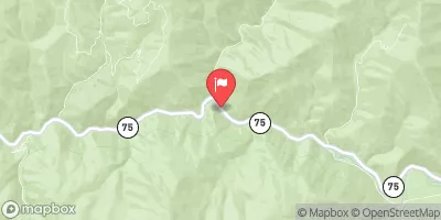
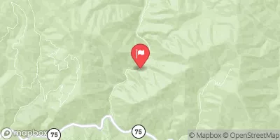
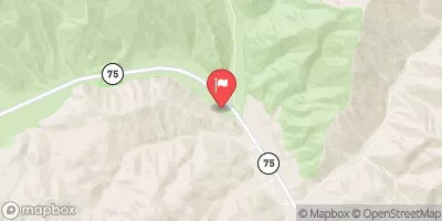
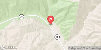
 Headwaters To Inlet Pettit Lake
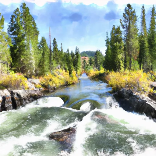 Outlet Pettit Lake To Confluence With Alturas Lake Creek
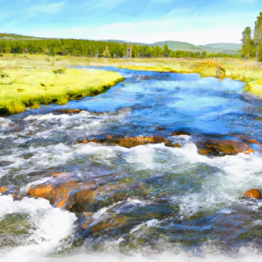 Headwaters To Confluence With Alturas Lake Creek
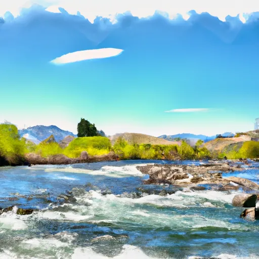 Outlet Alteras Lake To Confluence With Salmon River
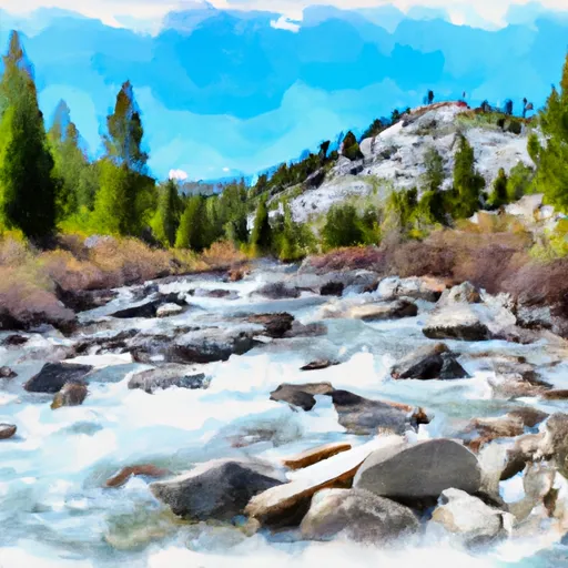 Headwaters To Sawtooth Wilderness Boundary
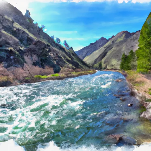 Sawtooth Wilderness Boundary To Confluence With Salmon River
 Alturas Lake and Pettit Lake Areas
 Perkins Lake
 Redfish Lake