Summary
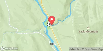
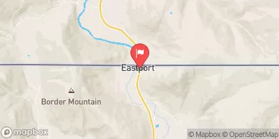
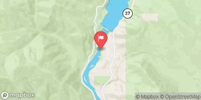
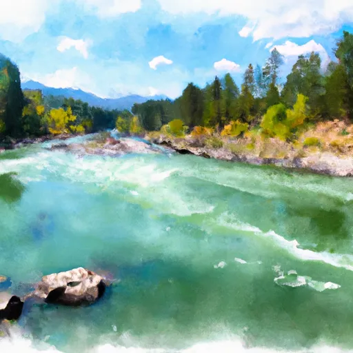
4, T33N, R33W, in the state of Idaho is an exciting and challenging river run for experienced and skilled kayakers. The ideal streamflow range for this run is between 400 and 2000 cfs, which is typically during the spring and early summer months. The segment mileage is approximately 10 miles with a class rating between III-IV, meaning there are several challenging rapids and obstacles that require expert skills to navigate safely.
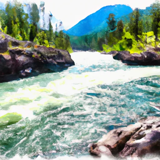
The specific river rapids and obstacles on this run include the "Punchbowl," a powerful hydraulic feature that can flip boats and cause injury if not approached with caution. Other rapids include "Hole in the Wall," "S-Turn," and "Gnarl Creek," which all present unique challenges to kayakers. It is essential to scout these rapids ahead of time and have a solid understanding of their features and hazards.
The specific regulations for this area include obtaining a permit from the Kootenai National Forest, following Leave No Trace principles, and respecting local wildlife. It is also important to note that while this run is open to kayakers, it is not suitable for inexperienced or beginner paddlers. Overall, the Whitewater River Run from the Headwaters, East and North Fork of the Yaak River to Yaak Falls is a thrilling and challenging experience that requires technical skills, proper equipment, and preparation.
°F
°F
mph
Wind
%
Humidity
15-Day Weather Outlook
River Run Details
| Last Updated | 2026-02-07 |
| River Levels | 11900 cfs (13.92 ft) |
| Percent of Normal | 90% |
| Status | |
| Class Level | None |
| Elevation | ft |
| Streamflow Discharge | cfs |
| Gauge Height | ft |
| Reporting Streamgage | USGS 12305000 |
5-Day Hourly Forecast Detail
Nearby Streamflow Levels
Area Campgrounds
| Location | Reservations | Toilets |
|---|---|---|
 Yaak Falls Campground
|
||
 Yaak Falls
|
||
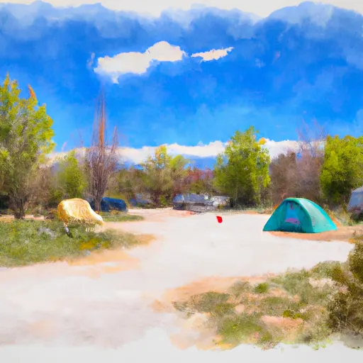 Kilbrennan Lake Campground
|
||
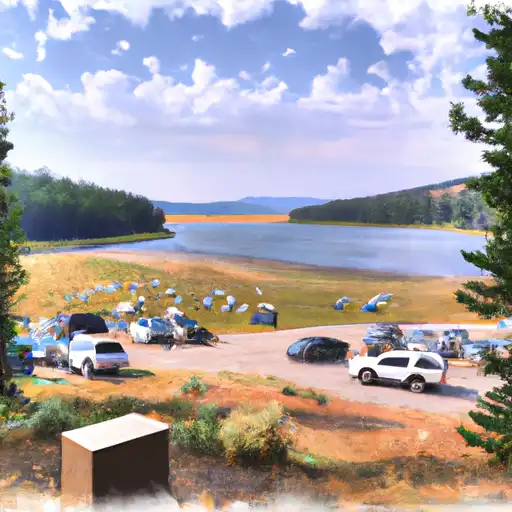 Kilbrennan Lake
|
||
 Yaak River Campground
|
||
 Yaak River
|
River Runs
-
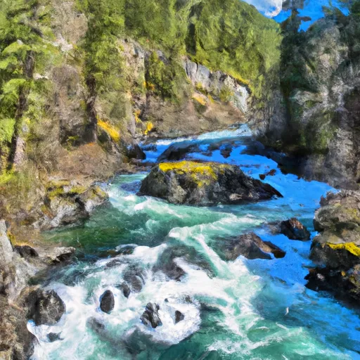 Headwaters, East And North Fork Of The Yaak River To Yaak Falls, Sec. 4, T33N, R33W
-
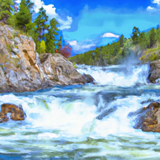 Yaak Falls, Sec. 4, T33N, R33W To Downstream To Bpa Powerline, 6 Miles West Of Troy
-
 Kootenai River
-
 10 Miles From Surprise Gulch To A Mile Below Kootenai Vista Estates To 10 Miles From Surprise Gulch To A Mile Below Kootenai Vista Estates
-
 From The Headwaters Of The West Fork Of Quartz Creek Downstream For Three Miles To The Boundary Of The Flagstaff Mountain Inventoried Roadless Area #690 To


