Cedar Creek, Sec. 6, T41n, R6e To Adair Creek Paddle Report
Last Updated: 2026-02-07
The Cedar Creek to Adair Creek segment of the Whitewater River in Idaho is approximately 11 miles long and is rated as a Class III+ to IV run with a recommended ideal streamflow range of 1,000 to 3,000 cubic feet per second.
Summary
This segment of the river features several rapids and obstacles, including the "Devil's Tooth" rapid, a steep and technical Class IV drop, and the "Jaws" rapid, a narrow and rocky channel with multiple obstacles.
The Cedar Creek to Adair Creek segment is managed by the Bureau of Land Management and requires a free permit for all river users. There are regulations in place to protect cultural and natural resources, including a ban on camping within 200 feet of the river and restrictions on fires.
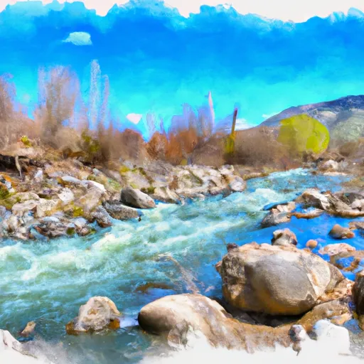
In addition to the Class III+ to IV rapids, this section of the Whitewater River is known for its scenic beauty, with towering rock formations, lush vegetation, and abundant wildlife. It is recommended that only experienced paddlers attempt this run, as the rapids and obstacles can be challenging and potentially dangerous at higher streamflow levels.
°F
°F
mph
Wind
%
Humidity
15-Day Weather Outlook
River Run Details
| Last Updated | 2026-02-07 |
| River Levels | 4300 cfs (8.36 ft) |
| Percent of Normal | 74% |
| Status | |
| Class Level | iii+-iv |
| Elevation | ft |
| Streamflow Discharge | cfs |
| Gauge Height | ft |
| Reporting Streamgage | USGS 13340600 |



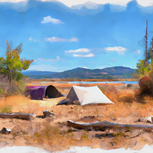
 Dog Creek Camp
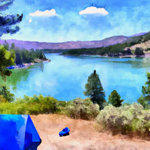
 Isabella Landing Camp
 Grandad Creek - Dworshak Reservoir
 Grandad Caampground
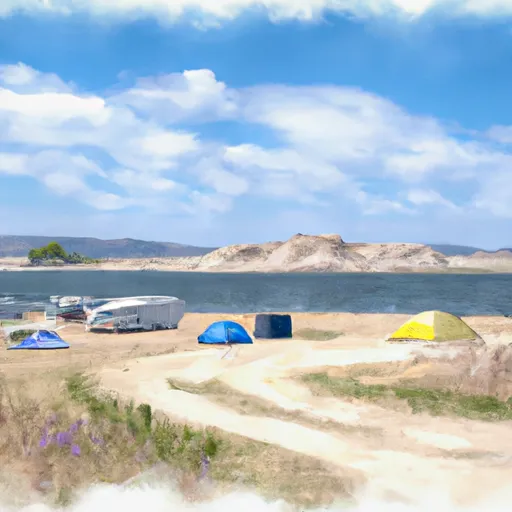 Aquarius Campground and Purple Beach Group Site
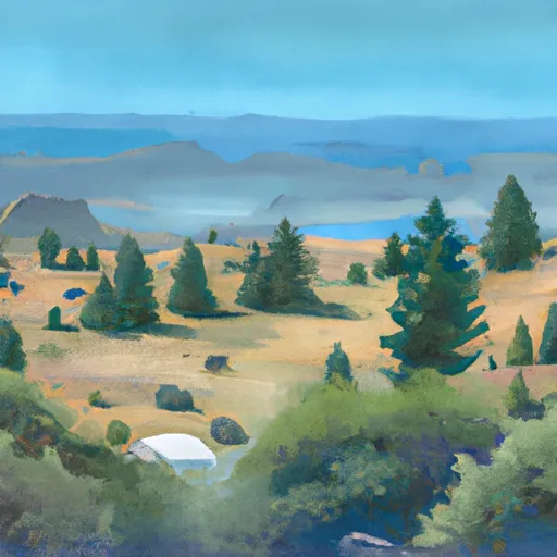 Aquarius
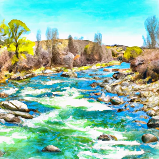 Cedar Creek, Sec. 6, T41N, R6E To Adair Creek
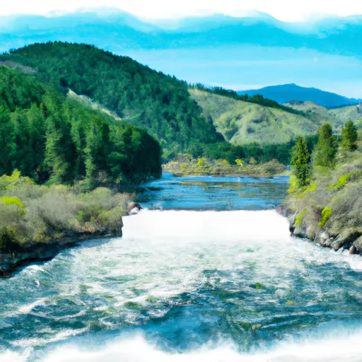 Dworshak Reservoir, Sec. 19, T41N, R5E To Forest Boundary, Sec. 33, T42N, R6E
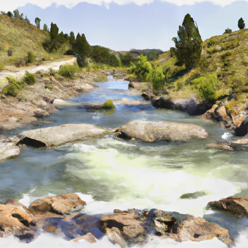 Dworshak Reservoir, Sec. 34, T41N, R6E To Forest Road #250, Sec. 6, T40N, R11E
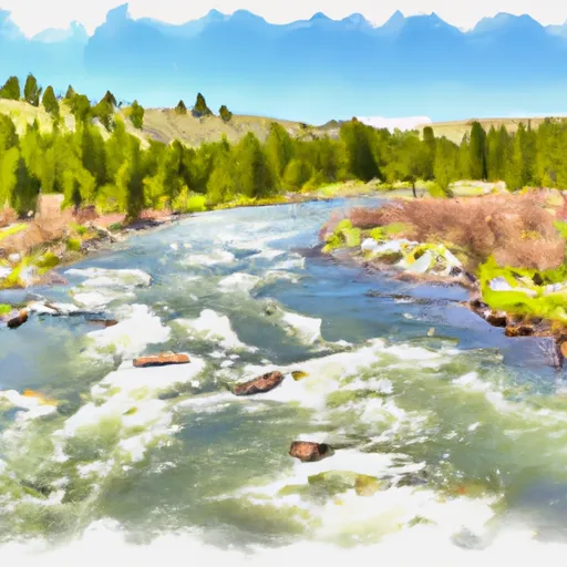 Adair Creek To Fish Lake, Sec. 4, T43N, R4E
 Lund Creek