2026-02-19T05:00:00-07:00
* WHAT...Heavy snow. Total snow accumulations between 1 and 2 feet with locally higher accumulations up to 30 inches across the upper Cottonwoods. * WHERE...The Wasatch Mountains, and Western Uinta Mountains. * WHEN...Until 5 AM MST Thursday. * IMPACTS...Winter driving conditions can be expected on all mountain routes. Traction restrictions are likely. * ADDITIONAL DETAILS...A period of heavy snow is expected between roughly 5 AM to 11 AM, with snowfall rates generally 1 to 2 inches per hour likely, except exceeding 2 inches per hour in the Upper Cottonwoods. Northwesterly flow prevailing behind a frontal passage will result in lingering showers through the end of the day Wednesday.
Summary
The ideal streamflow range for this run is typically between 700 and 1,200 cubic feet per second (cfs), with optimal conditions occurring in the early summer months. It is classified as a Class III-IV run, with steep drops, boulder gardens, and technical rapids that require advanced skills and experience.
The total segment mileage for this run is approximately 8 miles, with some of the most notable rapids including Pinball, S-Turn, and The Maze. These rapids are known for their narrow channels, large boulders, and challenging features that require careful navigation and precise maneuvering.
Regulations for the area include a required permit for all river users, which can be obtained through the Forest Service or local outfitters. Additionally, all users are required to follow Leave No Trace principles, including proper disposal of waste and minimizing impact on the surrounding environment.
Overall, the Whitewater River Run from High Creek Lake to NF Boundary is a thrilling and challenging adventure for experienced whitewater enthusiasts. It is important to check current streamflow conditions and obtain all necessary permits and equipment before embarking on this run.
°F
°F
mph
Wind
%
Humidity
15-Day Weather Outlook
River Run Details
| Last Updated | 2026-02-07 |
| River Levels | 1230 cfs (11.4 ft) |
| Percent of Normal | 61% |
| Status | |
| Class Level | iii-iv |
| Elevation | ft |
| Streamflow Discharge | cfs |
| Gauge Height | ft |
| Reporting Streamgage | USGS 10092700 |
5-Day Hourly Forecast Detail
Nearby Streamflow Levels
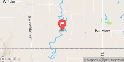 Bear River At Idaho-Utah State Line
|
473cfs |
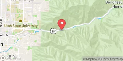 Logan
Logan
|
0cfs |
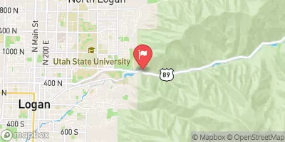 Logan River Above State Dam
|
103cfs |
 Blacksmith Fork Ab U.P.&L. Co
|
64cfs |
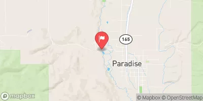 Little Bear River At Paradise
|
48cfs |
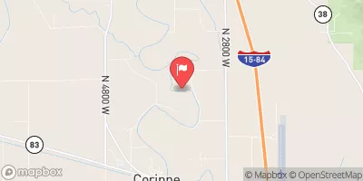 Bear River Near Corinne
|
1030cfs |
Area Campgrounds
| Location | Reservations | Toilets |
|---|---|---|
 High Creek
|
||
 High Creek Campground
|
||
 Tony Grove Lake Campground
|
||
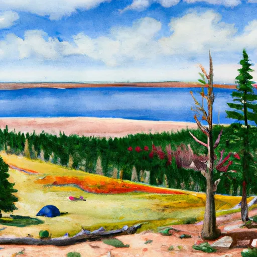 Tony Grove Lake
|
||
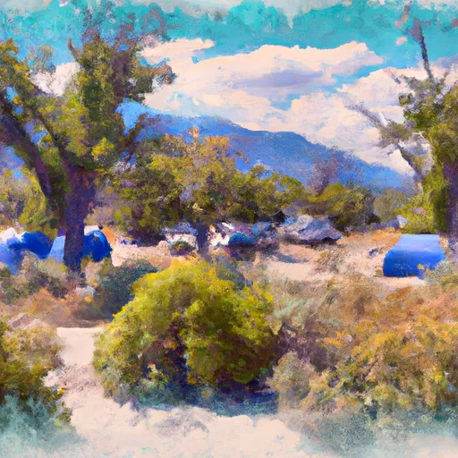 Smithfield Campground
|
||
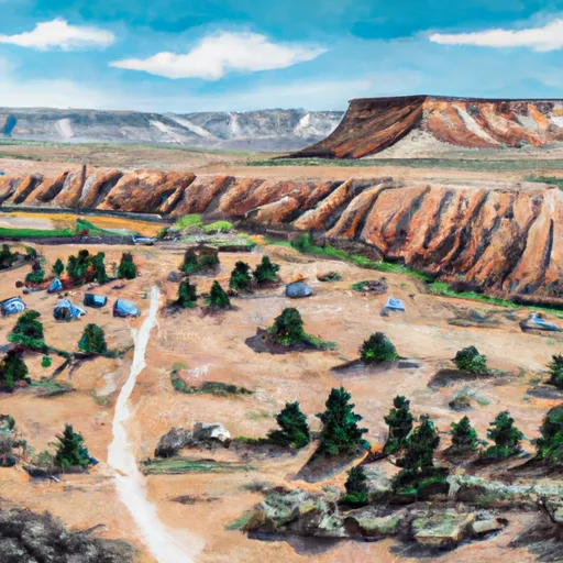 Smithfield
|


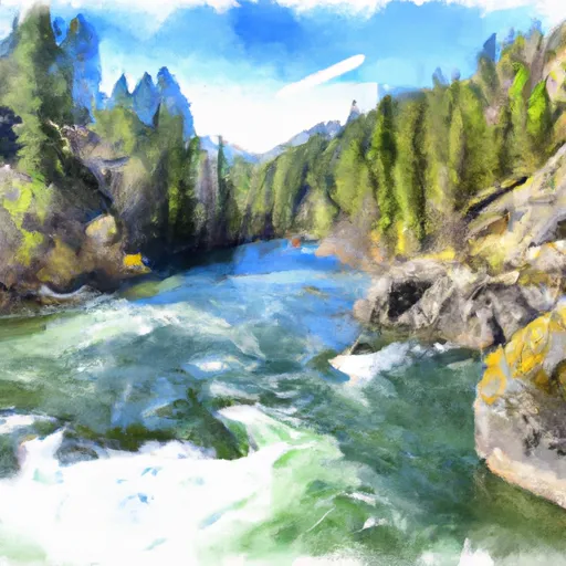 Hgh Creek Lake To Nf Boundary
 Source To Mouth
 Idaho State Line To Confluence With Beaver Creek
 Southern Boundary Of State Land To Mouth
 James Mack Memorial Park
 Forrester Acres Sports Complex
 Trenton City Park