Summary
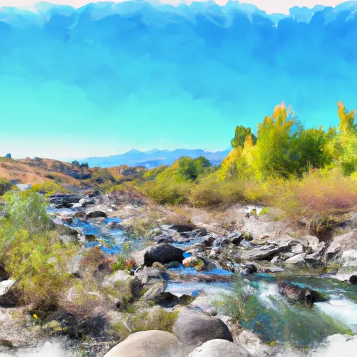
The ideal streamflow range for this river run is between 300 and 1500 cfs, with the optimal flow being around 800 cfs. The river is classified as a Class III whitewater run, with multiple rapids and obstacles throughout its 5.4-mile segment. Some specific rapids and obstacles include "The Turkey Shoot," "The Ledge," and "The Flume."
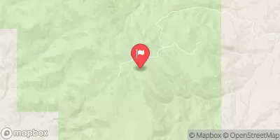
There are specific regulations in place for this area, including a mandatory life jacket requirement and a prohibition on motorized craft. Additionally, there are designated put-in and take-out locations, which are the Dry Creek Campground and the Dry Creek Bridge, respectively. It is important to note that the river run is only open during certain times of the year and may be closed due to weather or unsafe water conditions.
°F
°F
mph
Wind
%
Humidity
15-Day Weather Outlook
River Run Details
| Last Updated | 2025-06-28 |
| River Levels | 1710 cfs (4.43 ft) |
| Percent of Normal | 57% |
| Status | |
| Class Level | iii |
| Elevation | ft |
| Streamflow Discharge | cfs |
| Gauge Height | ft |
| Reporting Streamgage | USGS 13127000 |
5-Day Hourly Forecast Detail
Nearby Streamflow Levels
Area Campgrounds
| Location | Reservations | Toilets |
|---|---|---|
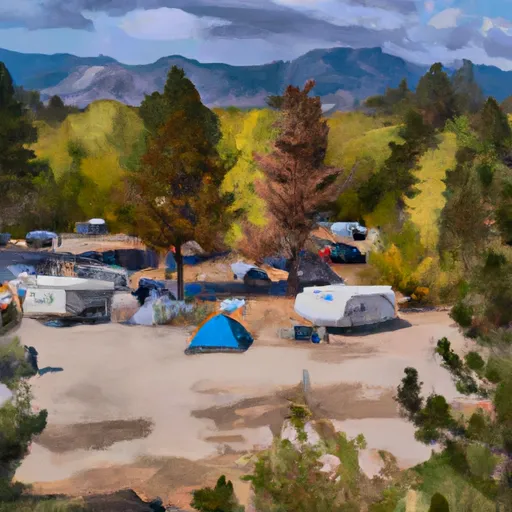 Loristica Group Campground
|
||
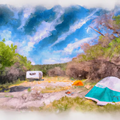 Wet Creek Sites
|
||
 Summit Creek Campground
|
||
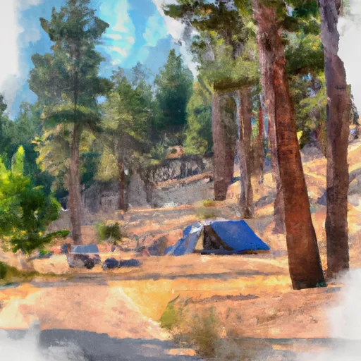 Summit Creek
|


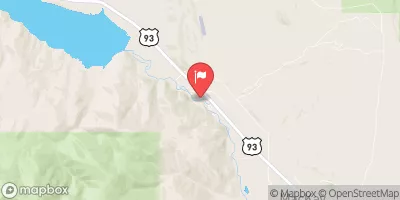
 Dry Creek
 Headwaters To Confluence With West Fork
 Confluence Of East And West Forks To Nf Boundary
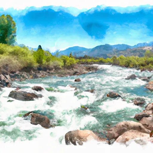 Pahsimeroi River
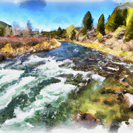 Mahogany Creek
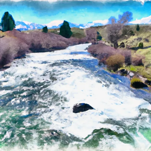 Headwaters To Nf Boundary