Summary
The ideal streamflow range for this river is between 1,000 and 2,000 cubic feet per second (cfs). The segment mileage of this river is approximately 8.5 miles, with challenging rapids and obstacles throughout.
Some notable rapids on Lolo Creek include Triple Bridges, Tight Squeeze, Lolo Falls, and Toilet Bowl. These rapids can be particularly challenging during high water flows, and paddlers are advised to have extensive experience and proper equipment before attempting them.
Specific regulations to the Lolo Creek area include a permit requirement from the U.S. Forest Service to run the river. Additionally, paddlers are required to wear personal flotation devices (PFDs) at all times, and motorized boats are not permitted on the river.
It is important for paddlers to check current weather and streamflow conditions before attempting to run Lolo Creek, as water levels can vary significantly and impact the difficulty of the rapids. It is also recommended to paddle with a group and have an experienced guide.
°F
°F
mph
Wind
%
Humidity
15-Day Weather Outlook
River Run Details
| Last Updated | 2025-06-28 |
| River Levels | 4480 cfs (4.71 ft) |
| Percent of Normal | 37% |
| Status | |
| Class Level | iii |
| Elevation | ft |
| Streamflow Discharge | cfs |
| Gauge Height | ft |
| Reporting Streamgage | USGS 13337000 |
5-Day Hourly Forecast Detail
Nearby Streamflow Levels
 Lochsa River Nr Lowell Id
|
1860cfs |
 Clear Ck At Kooskia National Fish Hatchery
|
18cfs |
 Sf Clearwater River At Stites Id
|
411cfs |
 Selway River Nr Lowell Id
|
2080cfs |
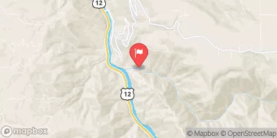 Lolo Creek Nr Greer Id
|
771cfs |
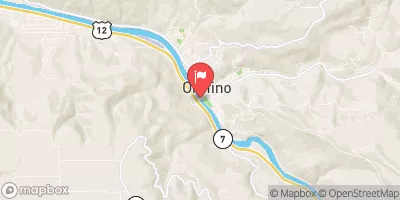 Clearwater River At Orofino Id
|
5850cfs |
Area Campgrounds
| Location | Reservations | Toilets |
|---|---|---|
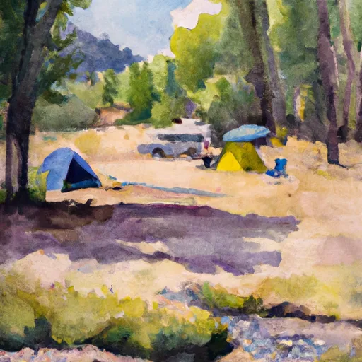 Lolo Creek Campground
|
||
 Apgar
Apgar
|
||
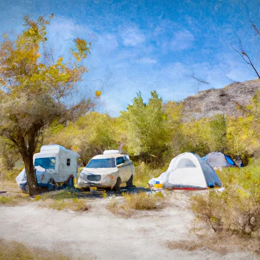 Wild Goose
|
||
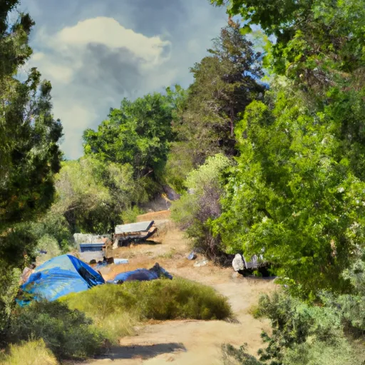 Wild Goose Campground
|


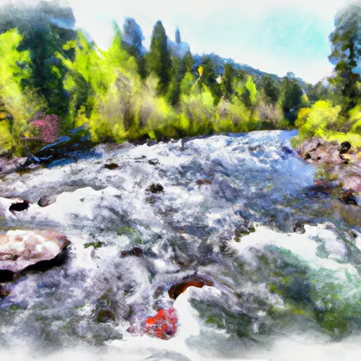 Lolo Creek