Summary
The ideal streamflow range for this river is between 1,000 and 3,000 cfs, with the highest flows occurring during spring runoff in May and June. The river is rated as Class III-IV, with challenging rapids such as Staircase, Bronco Billy, and the infamous Tappan Falls. The total segment mileage for the South Fork Payette is approximately 28 miles, with most trips taking place on the lower 20 miles of the river.
One of the most notable obstacles on this run is Tappan Falls, a Class V waterfall that requires expert-level skills and experience to navigate safely. Other rapids on the river include Staircase, a technical rapid with multiple drops, and Bronco Billy, a steep and fast-moving section of the river.
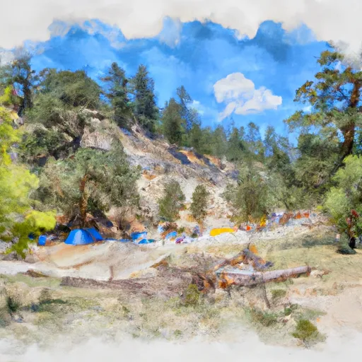
Visitors to the area should be aware of specific regulations to the South Fork Payette. The river is managed by the Boise National Forest, and a permit is required for all commercial and private trips. Additionally, all boaters must wear personal flotation devices (PFDs) at all times while on the river. Camping along the river is allowed at designated sites, but visitors should be aware of Leave No Trace principles and pack out all trash. Overall, the South Fork Payette is a challenging and rewarding river run for experienced boaters in Idaho.
°F
°F
mph
Wind
%
Humidity
15-Day Weather Outlook
River Run Details
| Last Updated | 2025-06-28 |
| River Levels | 934 cfs (7.55 ft) |
| Percent of Normal | 58% |
| Status | |
| Class Level | iii-iv |
| Elevation | ft |
| Streamflow Discharge | cfs |
| Gauge Height | ft |
| Reporting Streamgage | USGS 13237920 |
5-Day Hourly Forecast Detail
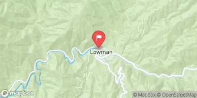
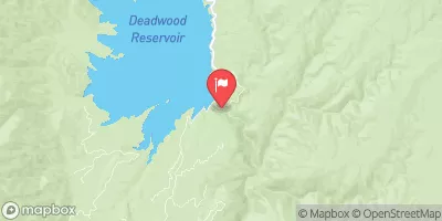
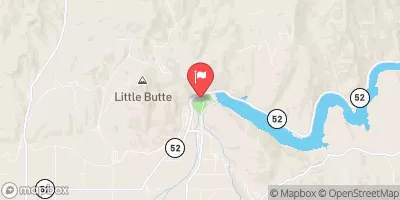
Nearby Streamflow Levels
Area Campgrounds
| Location | Reservations | Toilets |
|---|---|---|
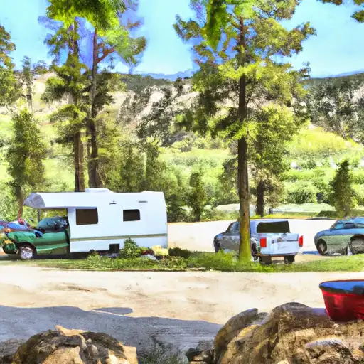 Hot Springs
|
||
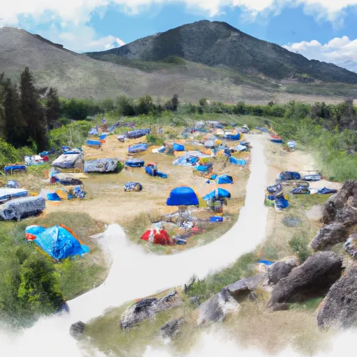 Hot Springs Campground and Group sites - reserve
|
||
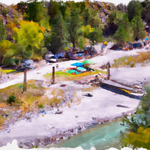 Swinging Bridge Campground - reserve
|
||
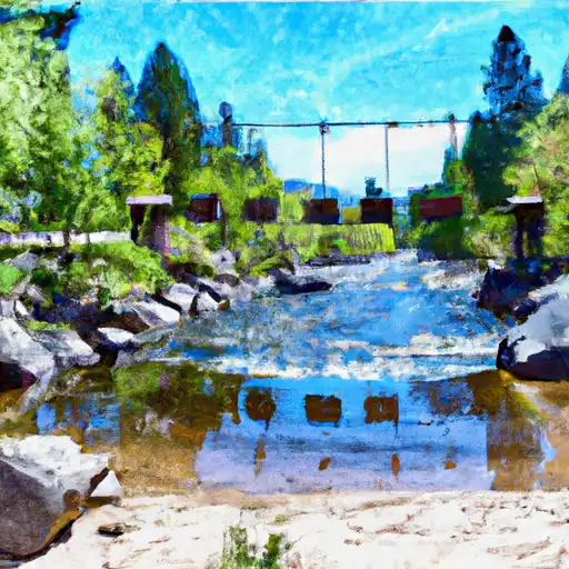 Swinging Bridge
|
||
 Tie Creek Campground
|
||
 Tie Creek
|


 Confluence
 Deer Creek
 Banks River Access
 Beehive Bend
 South Fork Payette
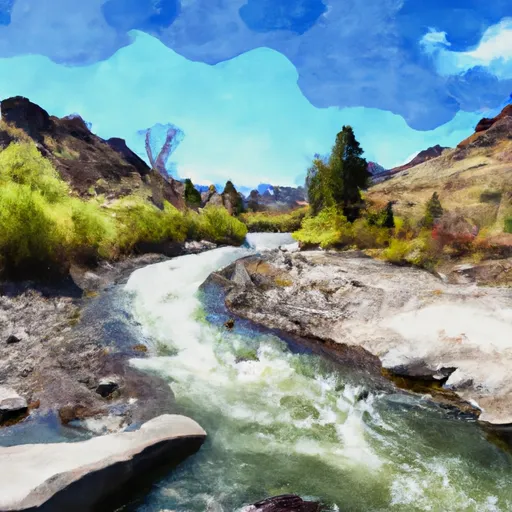 Long Gulch To Boise Nf Boundary
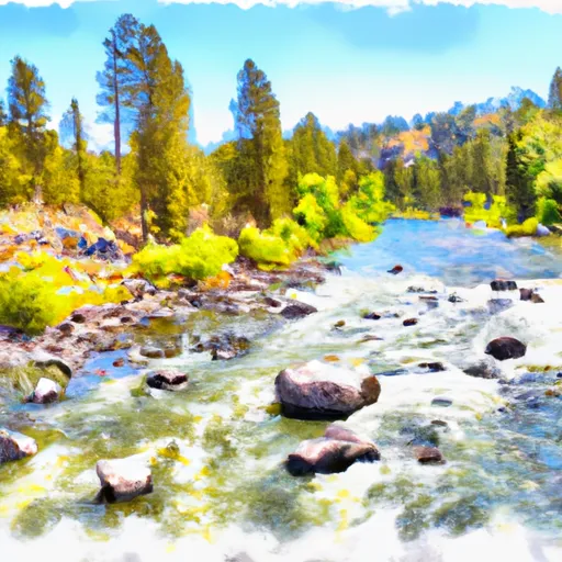 Boise Nf Boundary To Confluence With Payette River
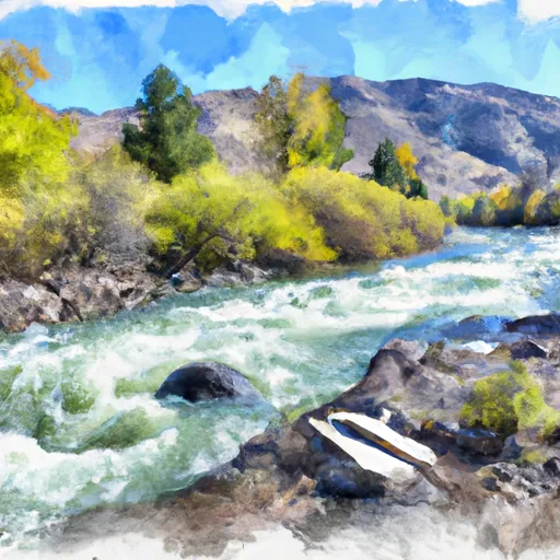 Boise Nf Boundary (1 Mile East Of Banks) To Boise Nf Boundary (1 Mile South Of Banks)
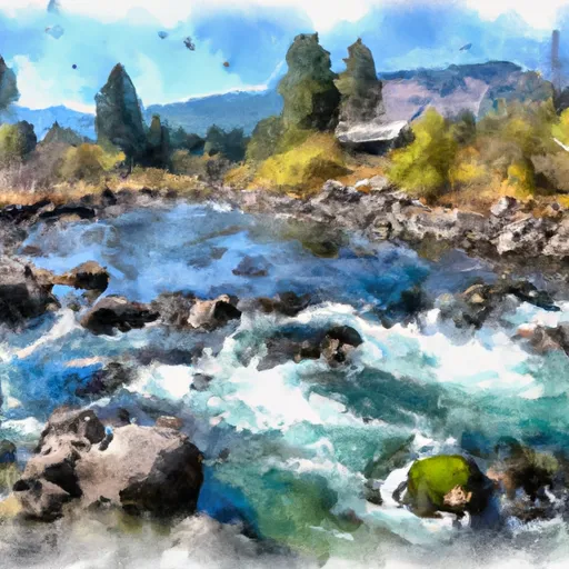 Confluence With Bell Creek To Boiling Springs Cabin