Summary
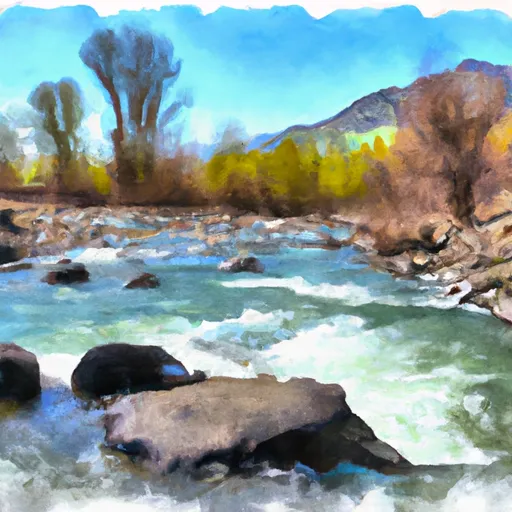
The ideal streamflow range for this river run is between 1,000 and 2,000 cfs, although some experienced kayakers may choose to run it at higher flow levels. The river run is rated as Class IV, with some sections being Class V during high flow periods.
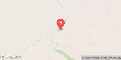
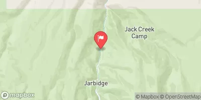
The segment mileage of the Yatahoney Creek is approximately 2.5 miles, starting at the confluence with the South Fork Payette River and ending at the take-out point at mile marker 75.5 on State Highway 55. The river run features several challenging rapids and obstacles, including "Entrance Exam," a Class IV rapid with a rocky entrance, and "Scream Machine," a turbulent Class V rapid with a steep drop.
There are specific regulations in place for the Yatahoney Creek area, including a requirement for boaters to carry a Type III life jacket and a helmet. Additionally, boaters must adhere to a "Leave No Trace" policy to minimize their impact on the environment.
In conclusion, the Yatahoney Creek, also known as Whitewater River Run, in Idaho is a Class IV river run with challenging rapids and obstacles. The ideal streamflow range is between 1,000 and 2,000 cfs, and specific regulations are in place to ensure safety and environmental preservation.
°F
°F
mph
Wind
%
Humidity
15-Day Weather Outlook
River Run Details
| Last Updated | 2025-06-28 |
| River Levels | 575 cfs (10.66 ft) |
| Percent of Normal | 33% |
| Status | |
| Class Level | iv-v |
| Elevation | ft |
| Streamflow Discharge | cfs |
| Gauge Height | ft |
| Reporting Streamgage | USGS 13176400 |


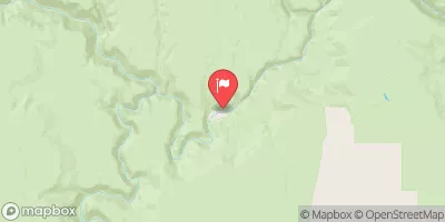
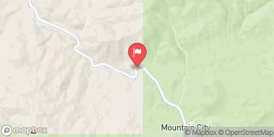
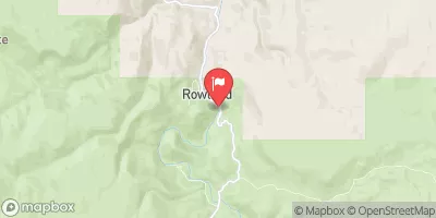
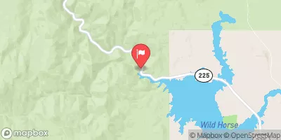
 Yatahoney Creek
 Juniper Creek
 Piute Creek