Summary
The ideal streamflow range for this section is between 800-1500 cfs. The section is classified as Class IV, which means it requires advanced skills and experience to navigate safely.
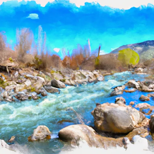
The Lund Creek segment is approximately 5 miles long and includes several notable rapids and obstacles. One of the most significant rapids is called "The Squeeze," which is a narrow chute that requires precise maneuvering to avoid getting pinned against the rocks. Other notable rapids include "Deadwood" and "Pinball."
It's important to note that the Lund Creek section is located in a wilderness area, and there are specific regulations that must be followed. For example, camping is only allowed in designated areas, and fires are not allowed. Additionally, the use of motorized boats is prohibited, and all boaters must adhere to Leave No Trace principles to minimize their impact on the environment.
In summary, the Lund Creek section of the Whitewater River in Idaho is a challenging and exciting run for experienced kayakers and rafters. With a Class IV rating, several notable rapids, and specific regulations in place to protect the environment, it's a must-visit destination for anyone seeking an adrenaline-fueled adventure in the great outdoors.
°F
°F
mph
Wind
%
Humidity
15-Day Weather Outlook
River Run Details
| Last Updated | 2025-06-28 |
| River Levels | 4300 cfs (8.36 ft) |
| Percent of Normal | 43% |
| Status | |
| Class Level | iv-iv |
| Elevation | ft |
| Streamflow Discharge | cfs |
| Gauge Height | ft |
| Reporting Streamgage | USGS 13340600 |
5-Day Hourly Forecast Detail
Nearby Streamflow Levels
Area Campgrounds
| Location | Reservations | Toilets |
|---|---|---|
 Orphan Saddle
|
||
 Orphan Point Saddle
|
||
 Crater Peak
|
||
 Camp 3
|
||
 Mammoth Springs Campground
|
||
 Mammoth Springs
|


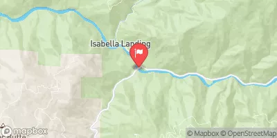
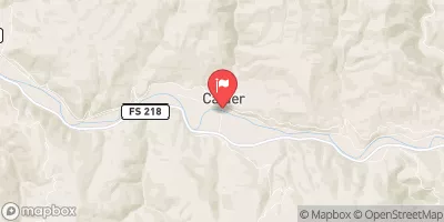
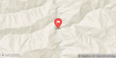
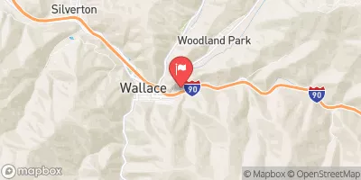
 Lund Creek
 Little North Fork Clearwater River
 Lost Lake Creek
 Little Lost Lake Creek
 Adair Creek To Fish Lake, Sec. 4, T43N, R4E