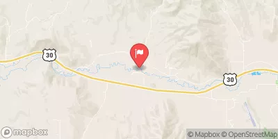
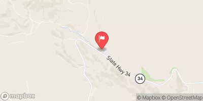
Black Canyon - Highway 34 To Grace Powerhouse
Due to negotiated dam releases (thanks to american whitewater org) this run is doable again. You should be a good class IV boater befor attempting this run and expect some V conditions based on water level.
Suggested river levels for paddling this section of the Bear River are between a bare minimum of 450cfs and a high of 1,000cfs.
River conditions sourced from USGS 10092700, the Bear River At Idaho-Utah State Line
Remember only watercraft are permitted
at Black Canyon - Highway 34 to Grace Powerhouse.
Run Stats
Status | Runnable |
Class Level | IV to V |
Elevation | 4,447 ft |
Run Length | 6.0 Mi |
Gradient | 100 FPM |
Streamflow Discharge | 636 cfs |
Gage Height | 10.0 ft |
Air Temperature | 51° |
River | Bear River |
Reporting Streamgage |
Bear River At Idaho-Utah State Line
USGS 10092700 |
Boo Boo Rapid
Class V |
Gauge | Streamflow | Stage |
---|---|---|
Grays Lake Outlet Nr Herman Id
USGS 13057500 |
0 cfs | 1.7 ft |
Bear River At Idaho-Utah State Line
USGS 10092700 |
636 cfs | 10.0 ft |
Blackfoot River Ab Reservoir Nr Henry Id
USGS 13063000 |
147 cfs | 2.6 ft |
Portneuf River At Topaz Id
USGS 13073000 |
169 cfs | 2.7 ft |
Blackfoot River Nr Shelley Id
USGS 13066000 |
112 cfs | 5.6 ft |
Snake River At Blackfoot Id
USGS 13062500 |
1,240 cfs | 4.3 ft |
Snake River Nr Irwin Id
USGS 13032500 |
2,690 cfs | 5.5 ft |
Willow Creek Bl Tex Creek Nr Ririe Id
USGS 13057940 |
116 cfs | 3.0 ft |
Marsh Creek Nr Mccammon Id
USGS 13075000 |
61 cfs | 2.8 ft |
Snake River Nr Shelley Id
USGS 13060000 |
2,490 cfs | 5.4 ft |
Snotel Site | Snowpack | 24hr Change |
---|---|---|
Emigrant Summit
SNOTEL 471 |
38" | -2" |
Temple Fork
SNOTEL 1013 |
22" | -2" |
Sheep Mtn.
SNOTEL 749 |
31" | -1" |
Franklin Basin
SNOTEL 484 |
38" | -2" |
Dry Bread Pond
SNOTEL 455 |
25" | -2" |
Horse Ridge
SNOTEL 533 |
24" | -1" |
Kilfoil Creek
SNOTEL 1145 |
16" | -3" |
Oxford Spring
SNOTEL 677 |
1" | 0" |
Giveout
SNOTEL 493 |
9" | -1" |
Somsen Ranch
SNOTEL 770 |
20" | -2" |
Tony Grove Lake
SNOTEL 823 |
49" | -2" |
Slug Creek Divide
SNOTEL 761 |
21" | -2" |
Bug Lake
SNOTEL 374 |
30" | -2" |
Usu Doc Daniel
SNOTEL 1098 |
56" | 0" |
Monte Cristo
SNOTEL 634 |
41" | -2" |
Garden City Summit
SNOTEL 1114 |
26" | -1" |
Ben Lomond Trail
SNOTEL 333 |
12" | -2" |
Sedgwick Peak
SNOTEL 741 |
37" | -2" |
Lightning Ridge
SNOTEL 1056 |
23" | -3" |
Klondike Narrows
SNOTEL 1115 |
24" | -3" |
Ben Lomond Peak
SNOTEL 332 |
44" | 0" |
Campground | Campsites | Reservations | Toilets | Showers | Elevation |
---|---|---|---|---|---|
Blackfoot Reservoir | 16 | 6,134 ft | |||
Redpoint | 10 | 4,889 ft | |||
Maple Grove | 12 | 4,907 ft |
Ski Area | Snowpack | Air Temperature | 5 Day Forecast |
---|---|---|---|
Beaver Mountain Ski Area | 24" | 41° | 8.91" |
Cherry Peak | 49" | 38° | 8.5" |
River Run | Streamflow | Length | Class |
---|---|---|---|
Blackfoot Wolverine Canyon Run | 112.0cfs | 6.0 Mi | IV+ to V |
Black Canyon - Highway 34 to Grace Powerhouse | 636.0cfs | 6.0 Mi | IV to V |