Summary
The river run is best tackled in late spring or early summer when water levels are at their highest, with a recommended flow of 1,000-2,000 cfs. Obstacles to be aware of include the "Notch" rapid, a narrow chute with a large boulder in the middle, as well as "Pinball," a series of technical rapids with multiple boulders and tight turns. Overall, the Box Canyon river run is recommended for experienced rafters and kayakers looking for a thrilling adventure.
°F
°F
mph
Wind
%
Humidity
15-Day Weather Outlook
River Run Details
| Last Updated | 2023-06-13 |
| River Levels | 267 cfs (2.55 ft) |
| Percent of Normal | 87% |
| Optimal Range | 600-2200 cfs |
| Status | Too Low |
| Class Level | II |
| Elevation | 6,229 ft |
| Run Length | 4.0 Mi |
| Gradient | 18 FPM |
| Streamflow Discharge | 199 cfs |
| Gauge Height | 2.4 ft |
| Reporting Streamgage | USGS 13042500 |
5-Day Hourly Forecast Detail
Nearby Streamflow Levels
Area Campgrounds
| Location | Reservations | Toilets |
|---|---|---|
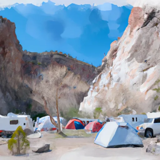 Box Canyon Campground
|
||
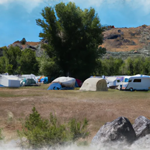 Buffalo Campground
|
||
 Buttermilk
|
||
 Buttermilk Campground
|
||
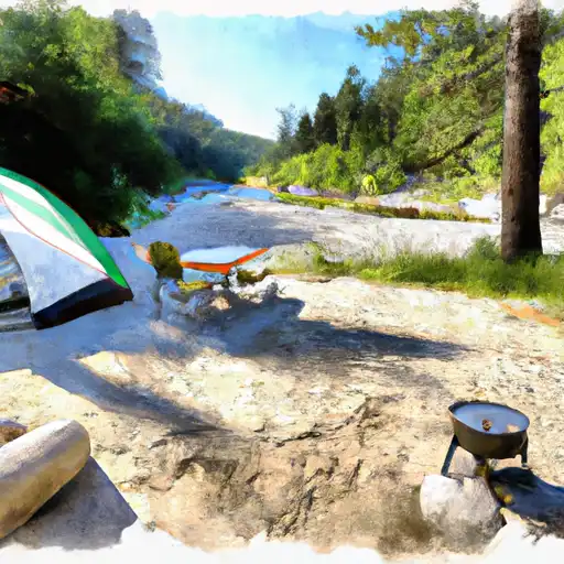 McCrea Bridge
|
||
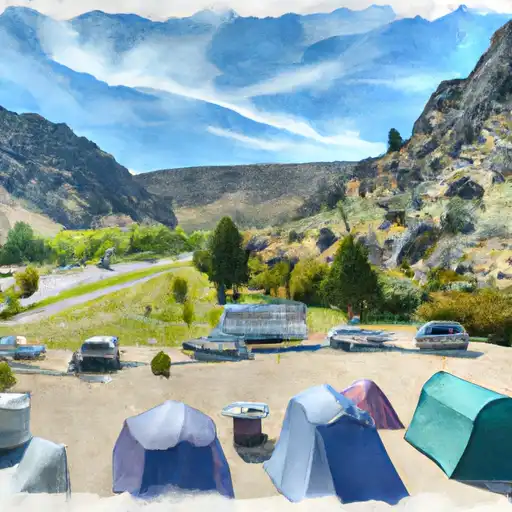 Box Canyon
|


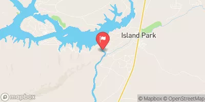
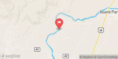
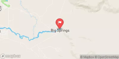
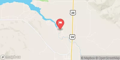
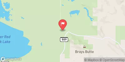
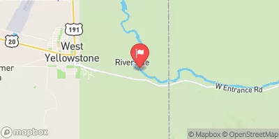
 Island Park Boating Site
 Box Canyon
 Elk Creek To Slackwater Of Ponds Power Dam
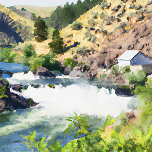 Island Park Dam To Box Canyon Summer Homes
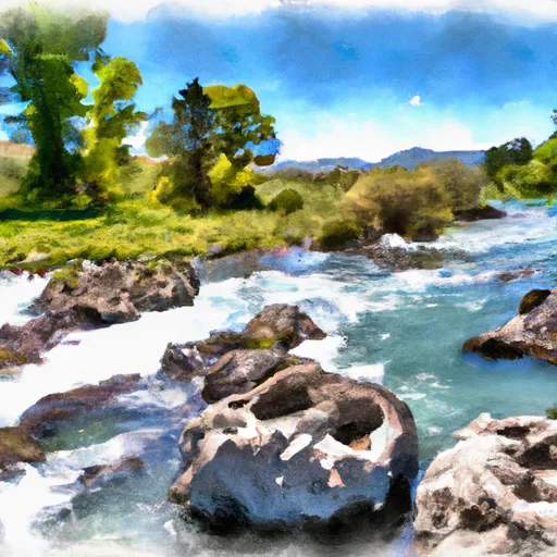 Buffalo River Springs To Confluence With Elk Creek
 Coffee Pot Campground To Mccrea'S Bridge
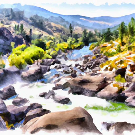 Box Canyon Summer Homes To Northern Boundary Of Harriman Park